Adelaide Area, Adelaide Postcode(5000) & Map in Adelaide, Adelaide - Central and Hills, SA
Adelaide Area, Adelaide Postcode(5000) & Map in Adelaide, Adelaide - Central and Hills, SA, AU, Postcode: 5000
Adelaide, Adelaide, Adelaide City, Adelaide - Central and Hills, South Australia, Australia, 5000
Adelaide Postcode
Area Name
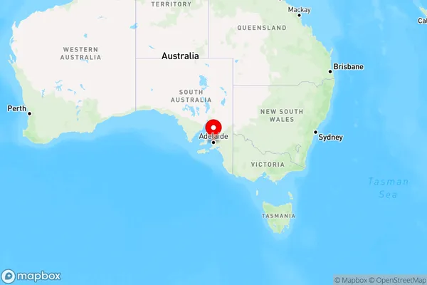
AdelaideAdelaide Suburb Area Map (Polygon)

Adelaide Introduction
Adelaide is the capital of South Australia and the fifth-largest city in Australia. It is known for its vibrant arts and culture, world-class wine regions, and beautiful parks and gardens. The city has a rich history and is home to many historic buildings and landmarks, including the Adelaide Oval, the South Australian Museum, and the Adelaide Botanic Garden. Adelaide is also a hub for education and research, with several universities and research institutions located in the city.State Name
City or Big Region
District or Regional Area
Suburb Name
Adelaide Region Map

Country
Main Region in AU
R2Coordinates
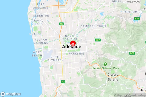
-34.9328294,138.6038129 (latitude/longitude)Adelaide Area Map (Street)

Longitude
138.608637Latitude
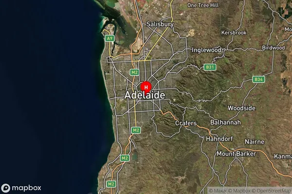
-34.937459Adelaide Suburb Map (Satellite)

Distances
The distance from Adelaide, Adelaide - Central and Hills, SA to AU Greater Capital CitiesSA1 Code 2011
40101100112SA1 Code 2016
40101100144SA2 Code
401011001SA3 Code
40101SA4 Code
401RA 2011
1RA 2016
1MMM 2015
1MMM 2019
1Charge Zone
S1LGA Region
AdelaideLGA Code
40070Electorate
Adelaide