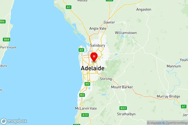
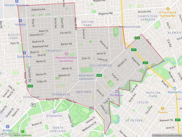
Prospect Walkerville Suburbs & Region, Prospect Walkerville Map & Postcodes
Prospect Walkerville Suburbs & Region, Prospect Walkerville Map & Postcodes in Prospect Walkerville, Adelaide Central and Hills, SA, AU
Prospect Walkerville Region
Region Name
Prospect Walkerville (SA, AU)Prospect Walkerville Area
11.32 square kilometers (11.32 ㎢)Postal Codes
5006, and 5081 (In total, there are 2 postcodes in Prospect Walkerville.)Prospect Walkerville Introduction
Prospect Walkerville is a suburb of Adelaide, South Australia. It is located in the City of Prospect and is part of the Adelaide Hills Council. The suburb is named after John Walkerville, who was the first landowner in the area. Prospect Walkerville is a popular suburb with a mix of residential and commercial properties. It is home to several parks, including the Prospect Reservoir and the Walkerville Conservation Park. The suburb is also well-connected to the city center, with easy access to public transportation.Australia State
City or Big Region
District or Regional Area
Prospect Walkerville Region Map

Prospect Walkerville Postcodes / Zip Codes
Prospect Walkerville Suburbs
Prospect Walkerville full address
Prospect Walkerville, Adelaide Central and Hills, South Australia, SA, Australia, SaCode: 40106Country
Prospect Walkerville, Adelaide Central and Hills, South Australia, SA, Australia, SaCode: 40106
Prospect Walkerville Suburbs & Region, Prospect Walkerville Map & Postcodes has 2 areas or regions above, and there are 8 Prospect Walkerville suburbs below. The sa3code for the Prospect Walkerville region is 40106. Its latitude and longitude coordinates are -34.8872,138.613.
Prospect Walkerville Suburbs & Localities
1. Medindie Gardens
2. Vale Park
3. Walkerville
4. North Adelaide
5. North Adelaide Melbourne St
6. Collinswood
7. Medindie
8. Gilberton
