Vale Park Area, Vale Park Postcode(5081) & Map in Vale Park, Adelaide - Central and Hills, SA
Vale Park Area, Vale Park Postcode(5081) & Map in Vale Park, Adelaide - Central and Hills, SA, AU, Postcode: 5081
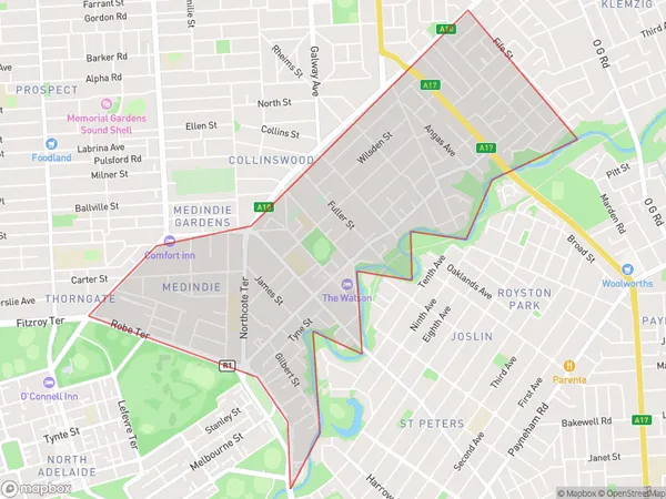
Vale Park, Walkerville, Prospect - Walkerville, Adelaide - Central and Hills, South Australia, Australia, 5081
Vale Park Postcode
Area Name
Vale ParkVale Park Suburb Area Map (Polygon)
Vale Park Introduction
Vale Park is a sports stadium in Adelaide, South Australia, located in the central and hills region. It is the home ground of the Adelaide Football Club and has a capacity of 53,500 people. The stadium has a rectangular shape and is surrounded by a running track.State Name
City or Big Region
District or Regional Area
Suburb Name
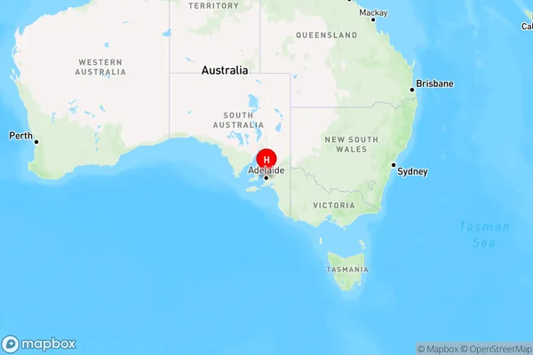
Vale Park Region Map
Country
Main Region in AU
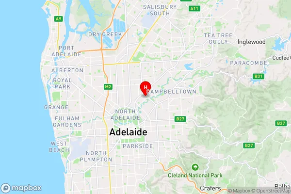
R2Coordinates
-34.887525,138.624461 (latitude/longitude)Vale Park Area Map (Street)
Longitude
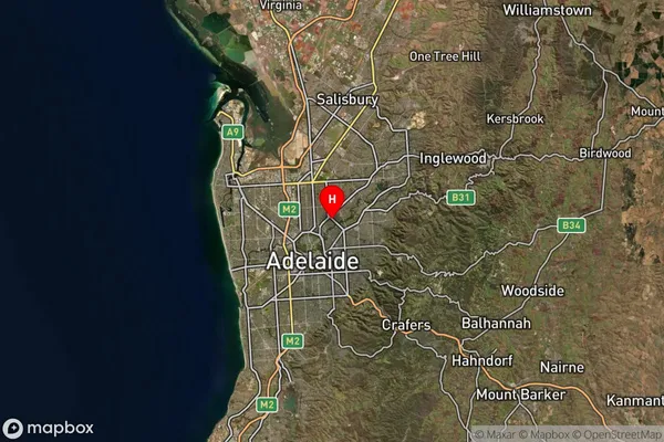
138.617673Latitude
-34.891417Vale Park Elevation
about 43.97 meters height above sea level (Altitude)Vale Park Suburb Map (Satellite)
Distances
The distance from Vale Park, Adelaide - Central and Hills, SA to AU Greater Capital CitiesSA1 Code 2011
40106102213SA1 Code 2016
40106102213SA2 Code
401061022SA3 Code
40106SA4 Code
401RA 2011
1RA 2016
1MMM 2015
1MMM 2019
1Charge Zone
S1LGA Region
WalkervilleLGA Code
48260Electorate
Adelaide