College Park Area, College Park Postcode(5069) & Map in College Park, Adelaide - Central and Hills, SA
College Park Area, College Park Postcode(5069) & Map in College Park, Adelaide - Central and Hills, SA, AU, Postcode: 5069
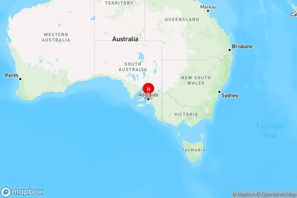
College Park, St Peters - Marden, Norwood - Payneham - St Peters, Adelaide - Central and Hills, South Australia, Australia, 5069
College Park Postcode
Area Name
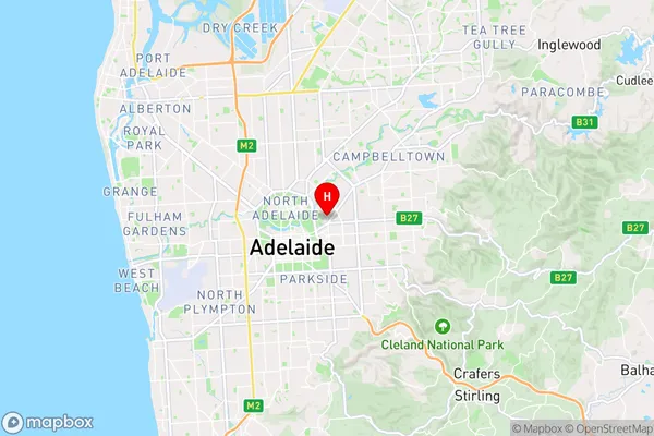
College ParkCollege Park Suburb Area Map (Polygon)

College Park Introduction
College Park is a suburb in Adelaide, South Australia, located in the City of Tea Tree Gully. It is known for its parks, including College Park Reserve and College Park Oval, and its proximity to the Tea Tree Plaza shopping center. The suburb has a mix of residential and commercial areas and is served by public transport.State Name
City or Big Region
District or Regional Area
Suburb Name
College Park Region Map
Country
Main Region in AU
R2Coordinates
-34.913,138.622 (latitude/longitude)College Park Area Map (Street)
Longitude
138.623527Latitude
-34.907597College Park Elevation
about 39.56 meters height above sea level (Altitude)College Park Suburb Map (Satellite)

Distances
The distance from College Park, Adelaide - Central and Hills, SA to AU Greater Capital CitiesSA1 Code 2011
40105101904SA1 Code 2016
40105101904SA2 Code
401051019SA3 Code
40105SA4 Code
401RA 2011
1RA 2016
1MMM 2015
1MMM 2019
1Charge Zone
S1LGA Region
Norwood Payneham and St PetersLGA Code
45290Electorate
Sturt