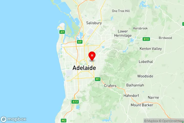
St Peters Marden Suburbs & Region, St Peters Marden Map & Postcodes
St Peters Marden Suburbs & Region, St Peters Marden Map & Postcodes in St Peters Marden, Port Adelaide East, Adelaide North, SA, AU
St Peters Marden Region
Region Name
St Peters Marden (SA, AU)St Peters Marden Area
5.98 square kilometers (5.98 ㎢)Postal Codes
5069, and 5070 (In total, there are 2 postcodes in St Peters Marden.)St Peters Marden Introduction
St Peters Marden is a suburb of Adelaide, South Australia. It is located in the City of Charles Sturt and is bordered by Main North Road, Port Road, and North East Road. The suburb was named after St Peter's Church, which was built in 1860. The church was demolished in 1974, but the cemetery remains. The suburb has a variety of housing styles, including single-story homes, duplexes, and apartments. There are also several parks and recreational facilities, including a basketball court, a cricket pitch, and a playground. The suburb is well-connected to other parts of Adelaide, with public transport options including buses and trains. The population of St Peters Marden is approximately 3,000 people. The suburb has a diverse population, with a mix of different ethnicities and cultures. The median age of the suburb is 35 years, and the majority of residents are employed in professional and administrative roles. The suburb is known for its friendly community and its sense of community spirit. There are several community groups and organizations, including the St Peters Marden Community Association and the St Peters Marden Lions Club. The suburb also hosts several annual events, including the St Peters Marden Festival and the St Peters Marden Christmas Pageant. In conclusion, St Peters Marden is a suburb of Adelaide with a rich history and a vibrant community. It is well-connected toAustralia State
City or Big Region
Greater Capital City
Greater Adelaide (4GADE)District or Regional Area
Suburb Name
St Peters Marden Region Map

St Peters Marden Postcodes / Zip Codes
St Peters Marden Suburbs
St Peters Marden full address
St Peters Marden, Port Adelaide East, Adelaide North, South Australia, SA, Australia, SaCode: 401051019Country
St Peters Marden, Port Adelaide East, Adelaide North, South Australia, SA, Australia, SaCode: 401051019
St Peters Marden Suburbs & Region, St Peters Marden Map & Postcodes has 0 areas or regions above, and there are 9 St Peters Marden suburbs below. The sa2code for the St Peters Marden region is 401051019. Its latitude and longitude coordinates are -34.905,138.635. St Peters Marden area belongs to Australia's greater capital city Greater Adelaide.
St Peters Marden Suburbs & Localities
1. College Park
2. St Peters
3. Evandale
4. Maylands
5. Joslin
6. Hackney
7. Stepney
8. Marden
9. Royston Park
