Nailsworth Area, Nailsworth Postcode(5083) & Map in Nailsworth, Adelaide - Central and Hills, SA
Nailsworth Area, Nailsworth Postcode(5083) & Map in Nailsworth, Adelaide - Central and Hills, SA, AU, Postcode: 5083
Nailsworth, Nailsworth - Broadview, Prospect - Walkerville, Adelaide - Central and Hills, South Australia, Australia, 5083
Nailsworth Postcode
Area Name
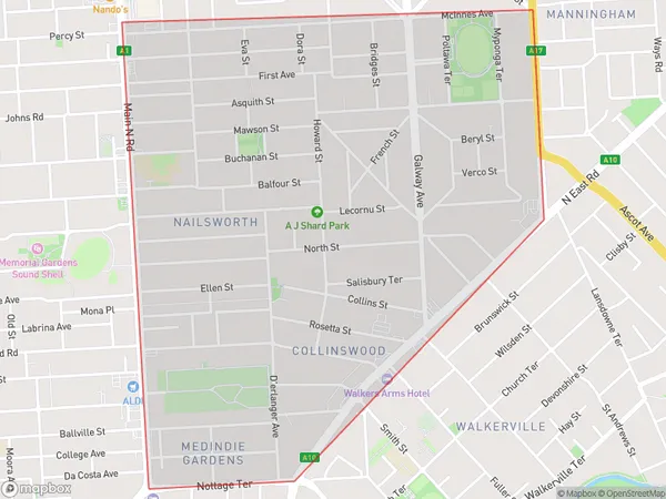
NailsworthNailsworth Suburb Area Map (Polygon)
Nailsworth Introduction
Nailsworth is a suburb of Adelaide, South Australia, located in the City of Tea Tree Gully. It is known for its natural beauty, including the Nailsworth Conservation Park and the Nailsworth Wetlands. The suburb has a population of approximately 0.5 million people and is home to a variety of businesses, including retail stores, restaurants, and cafes.State Name
City or Big Region
District or Regional Area
Suburb Name
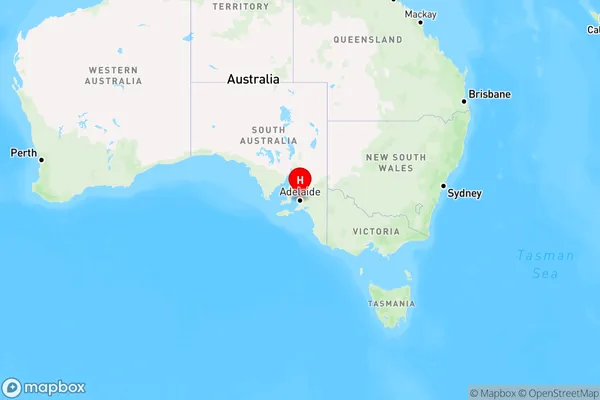
Nailsworth Region Map
Country
Main Region in AU
R2Coordinates
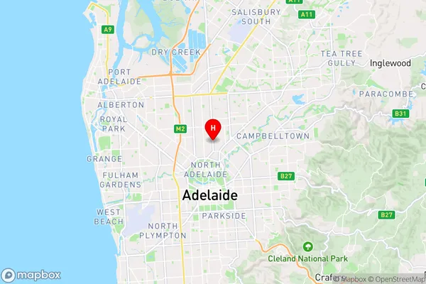
-34.886,138.603 (latitude/longitude)Nailsworth Area Map (Street)
Longitude
138.609927Latitude
-34.879357Nailsworth Elevation
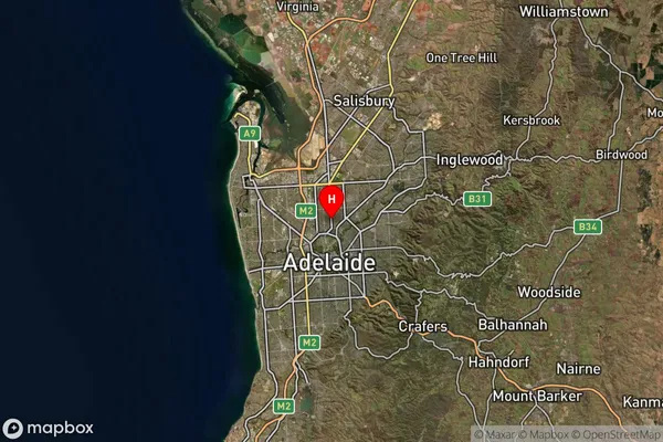
about 54.36 meters height above sea level (Altitude)Nailsworth Suburb Map (Satellite)
Distances
The distance from Nailsworth, Adelaide - Central and Hills, SA to AU Greater Capital CitiesSA1 Code 2011
40106102008SA1 Code 2016
40106102008SA2 Code
401061020SA3 Code
40106SA4 Code
401RA 2011
1RA 2016
1MMM 2015
1MMM 2019
1Charge Zone
S1LGA Region
ProspectLGA Code
46510Electorate
Adelaide