Glynde Plaza Area, Glynde Plaza Postcode(5070) & Map in Glynde Plaza, Adelaide - Central and Hills, SA
Glynde Plaza Area, Glynde Plaza Postcode(5070) & Map in Glynde Plaza, Adelaide - Central and Hills, SA, AU, Postcode: 5070
Glynde Plaza, Payneham - Felixstow, Norwood - Payneham - St Peters, Adelaide - Central and Hills, South Australia, Australia, 5070
Glynde Plaza Postcode
Area Name
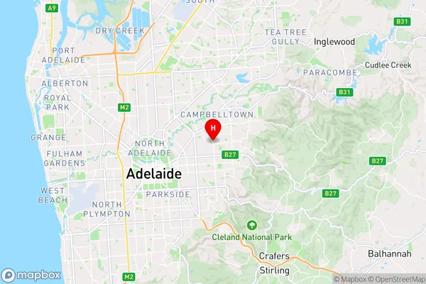
Glynde PlazaGlynde Plaza Suburb Area Map (Polygon)

Glynde Plaza Introduction
Glynde Plaza is a shopping center in Adelaide, South Australia, offering a range of retail stores, services, and amenities. It is located in the central and hills area of the city and is easily accessible by public transport. The center features a variety of shops, including fashion, homewares, electronics, and food outlets, as well as a food court and a cinema. Glynde Plaza also offers a range of services, including banking, medical clinics, and a pharmacy.State Name
City or Big Region
District or Regional Area
Suburb Name
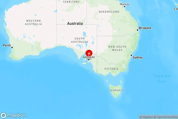
Glynde Plaza Region Map
Country
Main Region in AU
R2Coordinates
-34.9030297,138.6571414 (latitude/longitude)Glynde Plaza Area Map (Street)
Longitude
138.642172Latitude
-34.900496Glynde Plaza Elevation
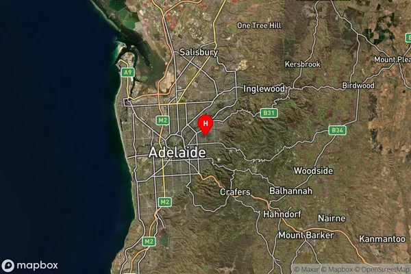
about 56.62 meters height above sea level (Altitude)Glynde Plaza Suburb Map (Satellite)
Distances
The distance from Glynde Plaza, Adelaide - Central and Hills, SA to AU Greater Capital CitiesSA1 Code 2011
40105101815SA1 Code 2016
40105101815SA2 Code
401051018SA3 Code
40105SA4 Code
401RA 2011
1RA 2016
1MMM 2015
1MMM 2019
1Charge Zone
S1LGA Region
Norwood Payneham and St PetersLGA Code
45290Electorate
Sturt