ZipCode 5085 Areas, AU PostCode 5085 Suburbs
Postcode 5085 Suburbs, ZipCode 5085 Areas & Regions in Port Adelaide - East,SA Australia
There are at least 6 AU suburbs share the same AU PostCode 5085 Suburbs in Port Adelaide - East.
Postal Code 5085 Regions
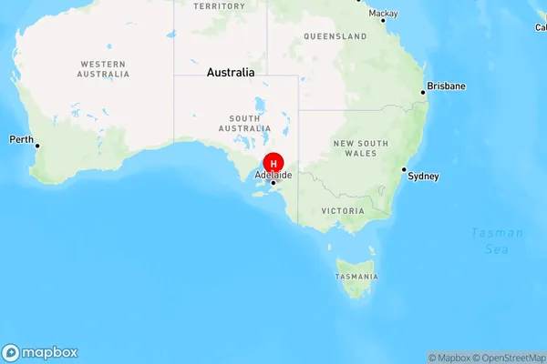
The Australia postcode 5085 regions include Enfield - Blair Athol, Northgate - Oakden - Gilles Plains in the areas of Port Adelaide - East, Enfield - Blair Athol, These postcode areas are all located in the state South Australia, SA.Australia postcode 5085 is located in the state of South Australia. It covers the suburbs of Gepps Cross, Modbury, and Penfield Gardens. The postcode was first introduced in 1968 and has since undergone several changes. It is known for its diverse population and its proximity to the city of Adelaide.
ZipCode 5085 Areas Map for Enfield - Blair Athol

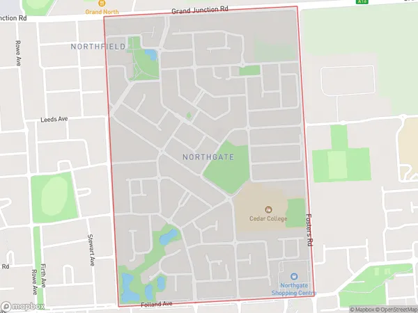
AU PostCode 5085 Suburbs Map for Northgate - Oakden - Gilles Plains
AU PostCode 5085 Suburbs
AU PostCode 5085 suburbs contain Clearview, Lightsview, Northgate, Enfield Plaza, Enfield, Northfield, you can check the below link to see the 6 suburbs detailed information.
AU PostCode 5085 Suburbs Map
ZipCode 5085 Areas
1. Clearview
2. Lightsview
3. Northgate
4. Enfield Plaza
5. Enfield
6. Northfield