Buchfelde Area, Buchfelde Postcode(5118) & Map in Buchfelde, Adelaide - North, SA
Buchfelde Area, Buchfelde Postcode(5118) & Map in Buchfelde, Adelaide - North, SA, AU, Postcode: 5118
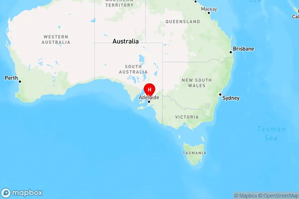
Buchfelde, Gawler - North, Gawler - Two Wells, Adelaide - North, South Australia, Australia, 5118
Buchfelde Postcode
Area Name
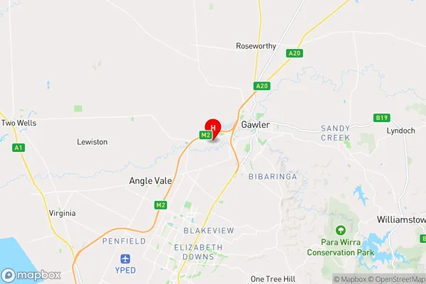
BuchfeldeBuchfelde Suburb Area Map (Polygon)

Buchfelde Introduction
Buchfelde is a suburb of Adelaide, South Australia, located in the City of Tea Tree Gully. It is known for its natural beauty, including the Buchfelde Conservation Park and the Buchfelde Wetlands. The suburb has a population of approximately 3,000 people and is home to a variety of amenities, including a shopping center, schools, and parks.State Name
City or Big Region
District or Regional Area
Suburb Name
Buchfelde Region Map
Country
Main Region in AU
R2Coordinates
-34.6103879,138.706595 (latitude/longitude)Buchfelde Area Map (Street)
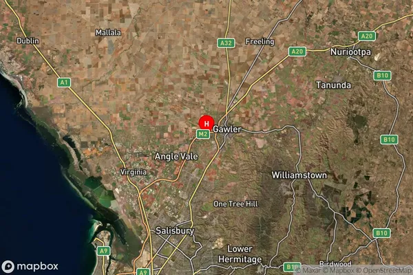
Longitude
138.705675Latitude
-34.58378Buchfelde Suburb Map (Satellite)
Distances
The distance from Buchfelde, Adelaide - North, SA to AU Greater Capital CitiesSA1 Code 2011
40201102505SA1 Code 2016
40201102526SA2 Code
402011025SA3 Code
40201SA4 Code
402RA 2011
1RA 2016
1MMM 2015
1MMM 2019
1Charge Zone
S1LGA Region
GawlerLGA Code
42030Electorate
Spence