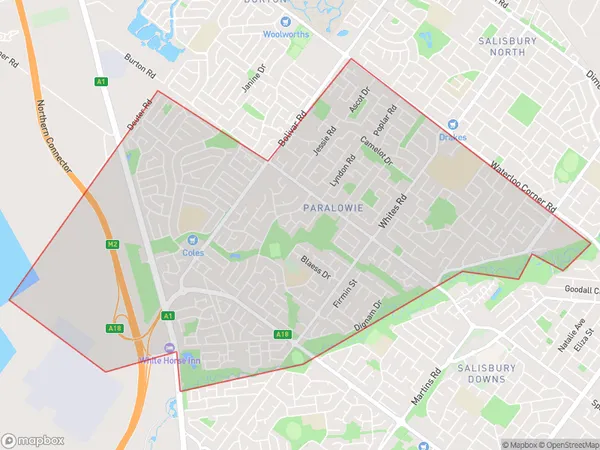
Paralowie Area, Paralowie Postcode(5108) & Map in Paralowie, Adelaide - North, SA
Paralowie Area, Paralowie Postcode(5108) & Map in Paralowie, Adelaide - North, SA, AU, Postcode: 5108
Paralowie, Paralowie, Salisbury, Adelaide - North, South Australia, Australia, 5108
Paralowie Postcode
Area Name
ParalowieParalowie Suburb Area Map (Polygon)
Paralowie Introduction
Paralowie is a suburb of Adelaide, South Australia, located in the City of Tea Tree Gully. It is known for its natural beauty, including the Paralowie Ranges and the Para Hills Nature Reserve. The suburb has a population of approximately 11,000 people and is home to a variety of amenities, including schools, shopping centers, and parks.State Name
City or Big Region
District or Regional Area
Suburb Name
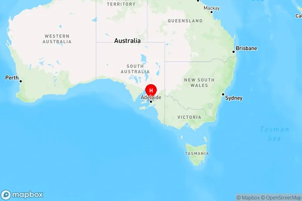
Paralowie Region Map
Country
Main Region in AU
R2Coordinates
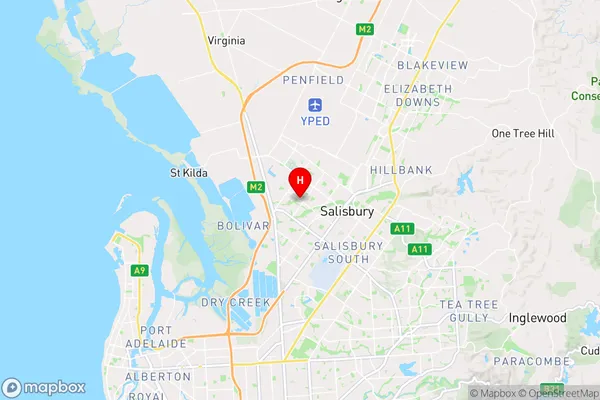
-34.756944,138.611389 (latitude/longitude)Paralowie Area Map (Street)
Longitude
138.61884Latitude
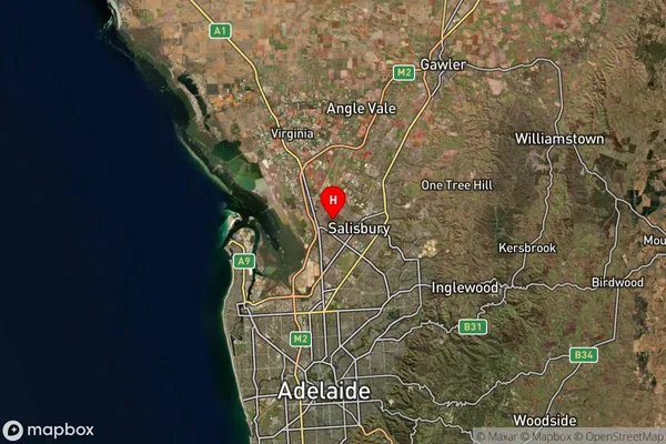
-34.761553Paralowie Suburb Map (Satellite)
Distances
The distance from Paralowie, Adelaide - North, SA to AU Greater Capital CitiesSA1 Code 2011
40204104429SA1 Code 2016
40204104429SA2 Code
402041044SA3 Code
40204SA4 Code
402RA 2011
1RA 2016
1MMM 2015
1MMM 2019
1Charge Zone
S1LGA Region
SalisburyLGA Code
47140Electorate
Spence