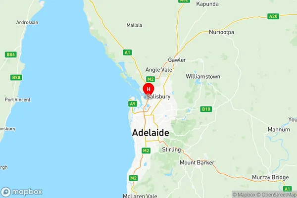
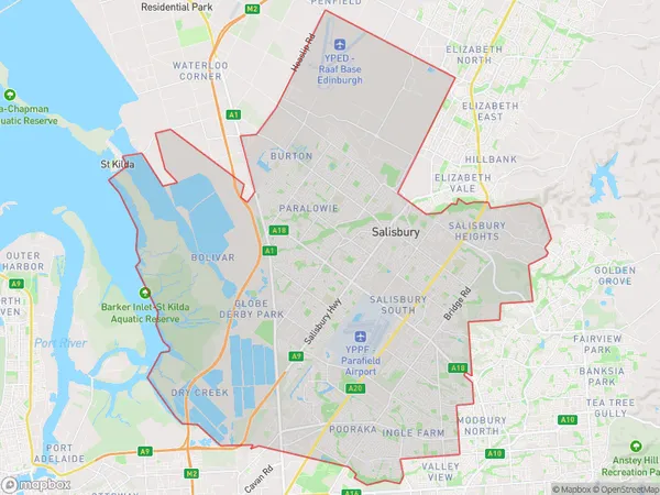
Salisbury Suburbs & Region, Salisbury Map & Postcodes
Salisbury Suburbs & Region, Salisbury Map & Postcodes in Salisbury, Adelaide North, SA, AU
Salisbury Region
Region Name
Salisbury (SA, AU)Salisbury Area
150.17 square kilometers (150.17 ㎢)Postal Codes
5093, 5095, 5096, 5098, from 5106 to 5108, 5110, and 5111 (In total, there are 9 postcodes in Salisbury.)Salisbury Introduction
Salisbury is a suburb of Adelaide in the Australian state of South Australia. It is located in the City of Norwood Payneham & St Peters. Salisbury is located on the southern side of the North Para Reservoir. The suburb was named after Salisbury, Wiltshire, England. The post office opened as "Salisbury East" on 1 October 1855 and was renamed "Salisbury" in 1884.Australia State
City or Big Region
District or Regional Area
Salisbury Region Map

Salisbury Postcodes / Zip Codes
Salisbury Suburbs
Northgate Oakden Gilles Plains
Dry Creek North
Parafield Gardens
Salisbury North
Mawson Lakes Globe Derby Park
Salisbury full address
Salisbury, Adelaide North, South Australia, SA, Australia, SaCode: 40204Country
Salisbury, Adelaide North, South Australia, SA, Australia, SaCode: 40204
Salisbury Suburbs & Region, Salisbury Map & Postcodes has 10 areas or regions above, and there are 30 Salisbury suburbs below. The sa3code for the Salisbury region is 40204. Its latitude and longitude coordinates are -34.775,138.589.
Salisbury Suburbs & Localities
1. Para Vista
2. Mawson Lakes
3. Pooraka
4. Para Hills
5. Parafield
6. Paralowie
7. Salisbury Downs
8. The Levels
9. Gulfview Heights
10. Ingle Farm
11. Walkley Heights
12. Parafield Airport
13. Salisbury South
14. Salisbury South Bc
15. Salisbury South Dc
16. Parafield Gardens
17. Salisbury
18. Valley View
19. Para Hills West
20. Green Fields
21. Salisbury North
22. Direk
23. Globe Derby Park
24. Waterloo Corner
25. Edinburgh Raaf
26. Bolivar
27. Burton
28. St Kilda
29. Salisbury North Whites Road
30. Edinburgh
