Parafield Gardens Suburbs & Region, Parafield Gardens Map & Postcodes
Parafield Gardens Suburbs & Region, Parafield Gardens Map & Postcodes in Parafield Gardens, Salisbury, Adelaide North, SA, AU
Parafield Gardens Region
Region Name
Parafield Gardens (SA, AU)Parafield Gardens Area
7.03 square kilometers (7.03 ㎢)Postal Codes
5107 (In total, there are 1 postcodes in Parafield Gardens.)Parafield Gardens Introduction
Parafield Gardens is a suburb of Adelaide, located in the City of Charles Sturt. It is situated approximately 10 kilometers north of the Adelaide city center and is bordered by the suburbs of Edinburgh, Greenacres, and Paradise. The suburb is named after the Parafield Airport, which is located within its boundaries. Parafield Gardens is a well-established suburb with a variety of housing options, including single-family homes, duplexes, and apartments. The suburb has a strong sense of community and is home to a number of parks, schools, and recreational facilities. The Parafield Gardens Shopping Center is a major shopping destination in the area, with a variety of stores, restaurants, and cafes. The suburb is also well-connected to the rest of Adelaide, with easy access to the Adelaide Ring Road and the North-South Motorway. It is also a short drive from the Adelaide Airport and the University of South Australia.Australia State
City or Big Region
Greater Capital City
Greater Adelaide (4GADE)District or Regional Area
Suburb Name
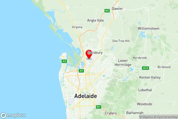
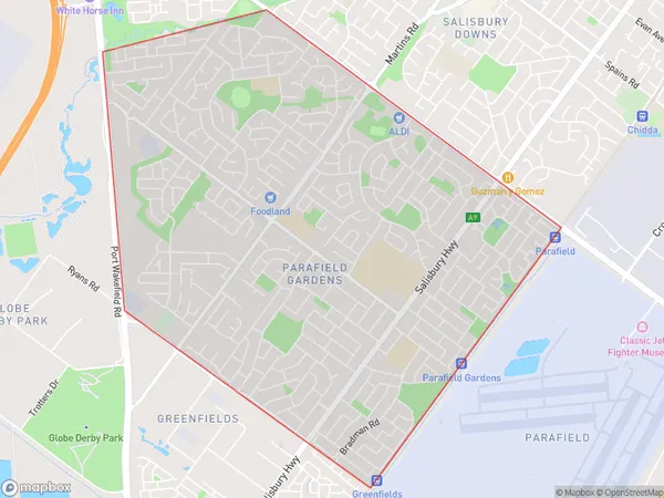
Parafield Gardens Region Map

Parafield Gardens Postcodes / Zip Codes
Parafield Gardens Suburbs
Parafield Gardens full address
Parafield Gardens, Salisbury, Adelaide North, South Australia, SA, Australia, SaCode: 402041043Country
Parafield Gardens, Salisbury, Adelaide North, South Australia, SA, Australia, SaCode: 402041043
Parafield Gardens Suburbs & Region, Parafield Gardens Map & Postcodes has 0 areas or regions above, and there are 1 Parafield Gardens suburbs below. The sa2code for the Parafield Gardens region is 402041043. Its latitude and longitude coordinates are -34.79,138.616. Parafield Gardens area belongs to Australia's greater capital city Greater Adelaide.
Parafield Gardens Suburbs & Localities
1. Parafield Gardens
