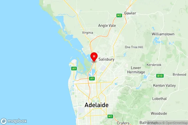
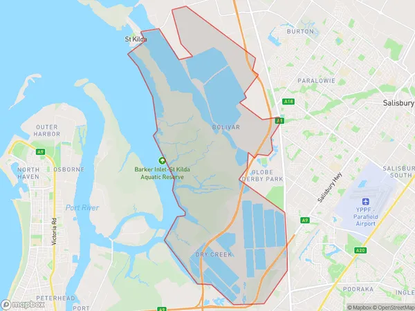
Dry Creek North Suburbs & Region, Dry Creek North Map & Postcodes
Dry Creek North Suburbs & Region, Dry Creek North Map & Postcodes in Dry Creek North, Salisbury, Adelaide North, SA, AU
Dry Creek North Region
Region Name
Dry Creek North (SA, AU)Dry Creek North Area
38.57 square kilometers (38.57 ㎢)Postal Codes
5110 (In total, there are 1 postcodes in Dry Creek North.)Dry Creek North Introduction
Dry Creek North is a suburb of Adelaide in the Australian state of South Australia. It is located in the City of Norwood Payneham & St Peters. Dry Creek North was named after the Dry Creek which flows through the suburb. The suburb is primarily residential, with a mix of single-family homes and apartments. The suburb has a number of parks and recreational facilities, including the Dry Creek Reserve and the Dry Creek Linear Park. The suburb is well-connected to the rest of Adelaide, with easy access to the Adelaide CBD and the surrounding suburbs.Australia State
City or Big Region
Greater Capital City
Greater Adelaide (4GADE)District or Regional Area
Suburb Name
Dry Creek North Region Map

Dry Creek North Postcodes / Zip Codes
Dry Creek North Suburbs
Dry Creek North full address
Dry Creek North, Salisbury, Adelaide North, South Australia, SA, Australia, SaCode: 402041039Country
Dry Creek North, Salisbury, Adelaide North, South Australia, SA, Australia, SaCode: 402041039
Dry Creek North Suburbs & Region, Dry Creek North Map & Postcodes has 0 areas or regions above, and there are 1 Dry Creek North suburbs below. The sa2code for the Dry Creek North region is 402041039. Its latitude and longitude coordinates are -34.775,138.589. Dry Creek North area belongs to Australia's greater capital city Greater Adelaide.
Dry Creek North Suburbs & Localities
1. Bolivar
