Hope Valley Area, Hope Valley Postcode(5090) & Map in Hope Valley, Adelaide - North, SA
Hope Valley Area, Hope Valley Postcode(5090) & Map in Hope Valley, Adelaide - North, SA, AU, Postcode: 5090
Hope Valley, Hope Valley - Modbury, Tea Tree Gully, Adelaide - North, South Australia, Australia, 5090
Hope Valley Postcode
Area Name
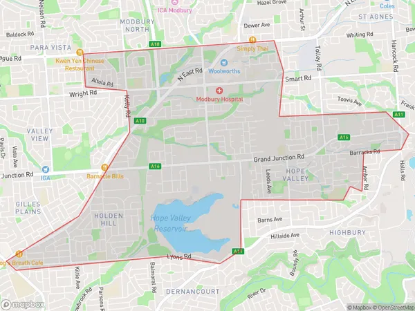
Hope ValleyHope Valley Suburb Area Map (Polygon)
Hope Valley Introduction
Hope Valley is a suburb of Adelaide, South Australia, located in the City of Tea Tree Gully. It is known for its natural beauty, including the Hope Valley Reservoir and the surrounding parklands. The suburb has a population of approximately 10,000 people and is home to a variety of amenities, including schools, shops, and recreational facilities.State Name
City or Big Region
District or Regional Area
Suburb Name
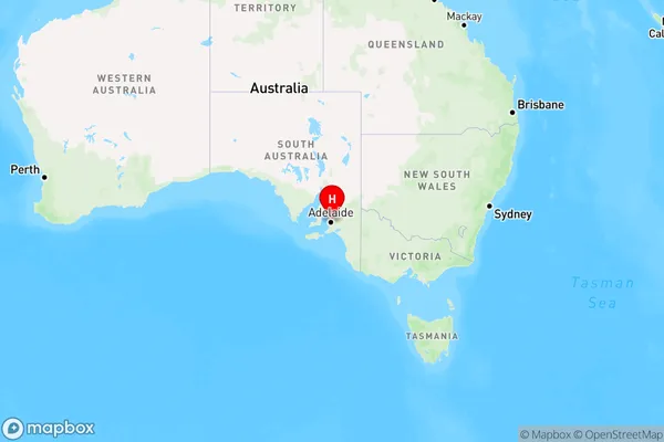
Hope Valley Region Map
Country
Main Region in AU
R2Coordinates
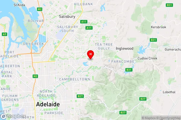
-34.8451,138.697 (latitude/longitude)Hope Valley Area Map (Street)
Longitude
138.704628Latitude
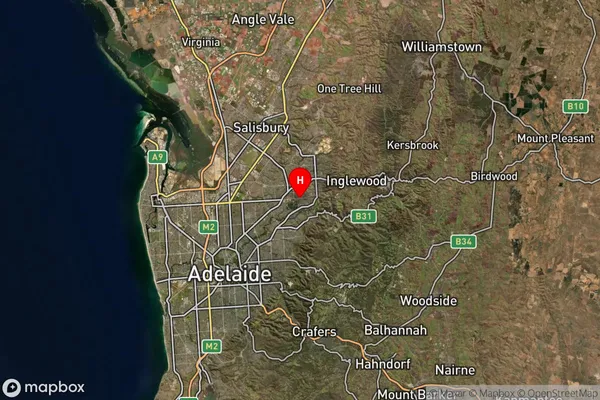
-34.843346Hope Valley Suburb Map (Satellite)
Distances
The distance from Hope Valley, Adelaide - North, SA to AU Greater Capital CitiesSA1 Code 2011
40205105205SA1 Code 2016
40205105205SA2 Code
402051052SA3 Code
40205SA4 Code
402RA 2011
1RA 2016
1MMM 2015
1MMM 2019
1Charge Zone
S1LGA Region
Tea Tree GullyLGA Code
47700Electorate
Sturt