Tea Tree Gully Suburbs & Region, Tea Tree Gully Map & Postcodes
Tea Tree Gully Suburbs & Region, Tea Tree Gully Map & Postcodes in Tea Tree Gully, Adelaide North, SA, AU
Tea Tree Gully Region
Region Name
Tea Tree Gully (SA, AU)Tea Tree Gully Area
91.31 square kilometers (91.31 ㎢)Tea Tree Gully Introduction
Tea Tree Gully is a suburb of Adelaide in the Australian state of South Australia. It is located in the City of Norwood Payneham & St Peters and is named after the tea tree that grows in the area. The suburb is located approximately 6 kilometers from the Adelaide city center and is home to a diverse population. The suburb has a number of parks and recreational facilities, including the Tea Tree Gully Reserve, which features a playground, walking trails, and picnic areas. The suburb is also home to a number of shopping centers, including the Tea Tree Plaza and the Westfield Tea Tree Gully. Tea Tree Gully is well-connected to the rest of Adelaide via public transport, with the Tea Tree Gully railway station located on the Seaford line. The suburb is also served by a number of bus routes, including the 601 and 602 routes that connect it to the city center. In terms of education, Tea Tree Gully is home to a number of primary and secondary schools, including Tea Tree Gully Primary School, St Peter's College, and John Bonython College. The suburb is also home to the University of South Australia's Tea Tree Gully Campus, which offers a range of undergraduate and postgraduate courses. Overall, Tea Tree Gully is a popular suburb with a diverse population and a range of amenities and facilities. It is a great place to live and work, with easyAustralia State
City or Big Region
District or Regional Area
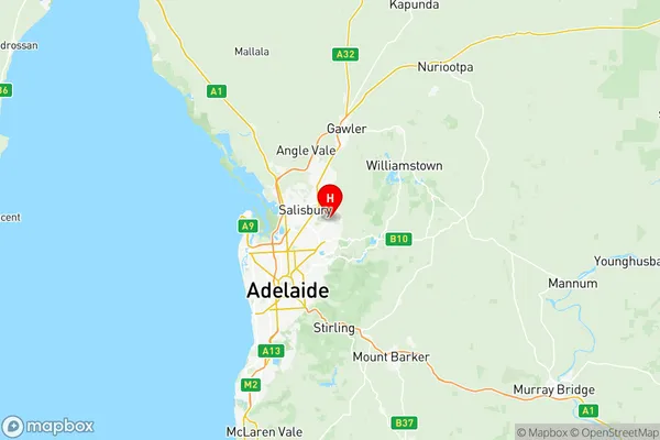
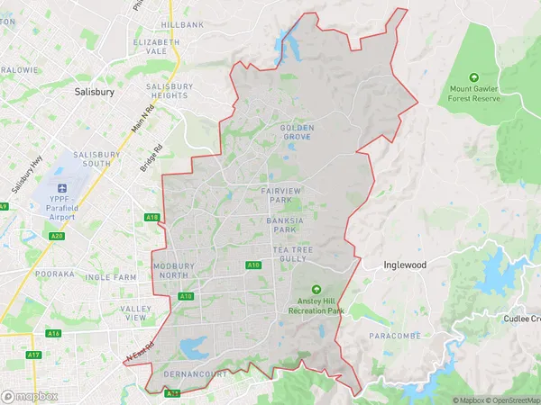
Tea Tree Gully Region Map

Tea Tree Gully Suburbs
Highbury Dernancourt
Hope Valley Modbury
St Agnes Ridgehaven
Tea Tree Gully full address
Tea Tree Gully, Adelaide North, South Australia, SA, Australia, SaCode: 40205Country
Tea Tree Gully, Adelaide North, South Australia, SA, Australia, SaCode: 40205
Tea Tree Gully Suburbs & Region, Tea Tree Gully Map & Postcodes has 11 areas or regions above, and there are 0 Tea Tree Gully suburbs below. The sa3code for the Tea Tree Gully region is 40205. Its latitude and longitude coordinates are -34.7839,138.706.
