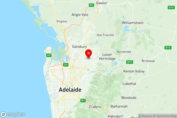
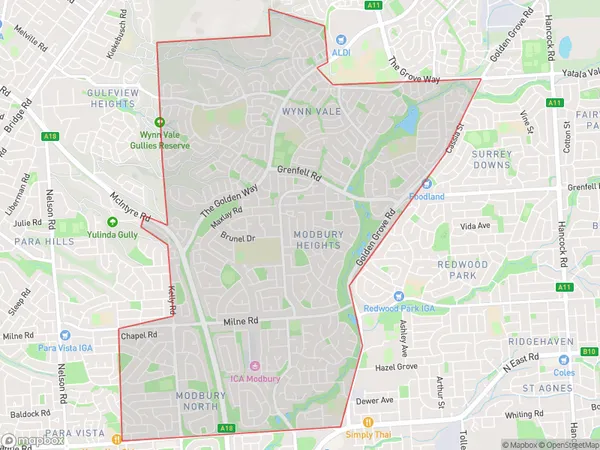
Modbury Heights Suburbs & Region, Modbury Heights Map & Postcodes
Modbury Heights Suburbs & Region, Modbury Heights Map & Postcodes in Modbury Heights, Tea Tree Gully, Adelaide North, SA, AU
Modbury Heights Region
Region Name
Modbury Heights (SA, AU)Modbury Heights Area
9.91 square kilometers (9.91 ㎢)Postal Codes
5092, and 5127 (In total, there are 2 postcodes in Modbury Heights.)Modbury Heights Introduction
Modbury Heights is a suburb of Adelaide in the Australian state of South Australia. It is located in the City of Tea Tree Gully. Modbury Heights is located on the southern side of the North East Freeway. The suburb is named after the Modbury River, which flows through it. The river was named after the Modbury tribe of the indigenous Kaurna people. The suburb has a number of parks and reserves, including Modbury Park, which has a playground, picnic facilities, and a walking trail. The suburb also has a number of schools, including Modbury Primary School, Modbury High School, and St John's College. The suburb is home to a number of different ethnic groups, including Aboriginal Australians, Anglo-Australians, and Asians. The suburb has a number of grocery stores, restaurants, and cafes, as well as a number of medical and dental clinics. Modbury Heights is a popular suburb for families and young professionals, due to its convenient location, affordable housing, and good quality of life.Australia State
City or Big Region
Greater Capital City
Greater Adelaide (4GADE)District or Regional Area
Suburb Name
Modbury Heights Region Map

Modbury Heights Postcodes / Zip Codes
Modbury Heights Suburbs
Modbury Heights full address
Modbury Heights, Tea Tree Gully, Adelaide North, South Australia, SA, Australia, SaCode: 402051053Country
Modbury Heights, Tea Tree Gully, Adelaide North, South Australia, SA, Australia, SaCode: 402051053
Modbury Heights Suburbs & Region, Modbury Heights Map & Postcodes has 0 areas or regions above, and there are 4 Modbury Heights suburbs below. The sa2code for the Modbury Heights region is 402051053. Its latitude and longitude coordinates are -34.811,138.686. Modbury Heights area belongs to Australia's greater capital city Greater Adelaide.
Modbury Heights Suburbs & Localities
1. Modbury Heights
2. Modbury North Dc
3. Modbury North
4. Wynn Vale
