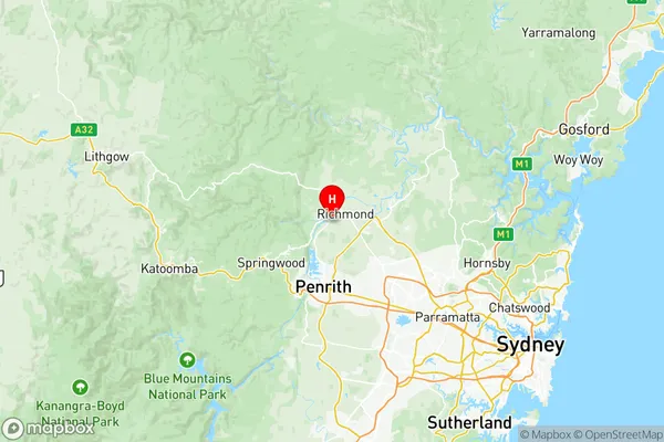
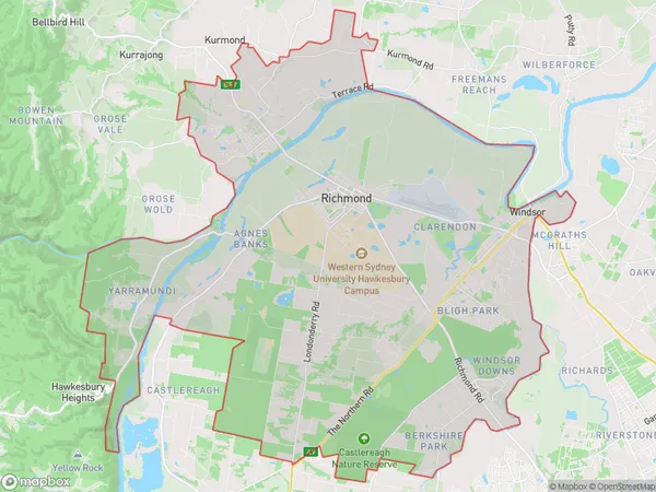
Richmond Windsor Suburbs & Region, Richmond Windsor Map & Postcodes
Richmond Windsor Suburbs & Region, Richmond Windsor Map & Postcodes in Richmond Windsor, Sydney Outer West and Blue Mountains, NSW, AU
Richmond Windsor Region
Region Name
Richmond Windsor (NSW, AU)Richmond Windsor Area
178.84 square kilometers (178.84 ㎢)Postal Codes
2753, 2754, 2756, and 2765 (In total, there are 4 postcodes in Richmond Windsor.)Richmond Windsor Introduction
Richmond Windsor, Sydney Outer West and Blue Mountains, New South Wales, AU, is a suburb located 38 kilometers west of Sydney's central business district. It is part of the Macarthur region and is named after the Earl of Richmond. The suburb has a rich history and is known for its beautiful gardens and parks. It is home to several historic buildings, including the Richmond Town Hall and the Richmond Gaol. The area is popular with tourists and has a variety of accommodation options, including hotels, guesthouses, and self-contained apartments. It is also home to several schools, including Richmond Public School and Richmond High School. The suburb is surrounded by natural beauty, including the Blue Mountains National Park and the Hawkesbury River. It is an ideal location for outdoor activities such as hiking, cycling, and picnicking.Australia State
City or Big Region
District or Regional Area
Richmond Windsor Region Map

Richmond Windsor Postcodes / Zip Codes
Richmond Windsor Suburbs
Rouse Hill Beaumont Hills
Richmond Windsor full address
Richmond Windsor, Sydney Outer West and Blue Mountains, New South Wales, NSW, Australia, SaCode: 12404Country
Richmond Windsor, Sydney Outer West and Blue Mountains, New South Wales, NSW, Australia, SaCode: 12404
Richmond Windsor Suburbs & Region, Richmond Windsor Map & Postcodes has 6 areas or regions above, and there are 54 Richmond Windsor suburbs below. The sa3code for the Richmond Windsor region is 12404. Its latitude and longitude coordinates are -33.6153,150.716.
Richmond Windsor Suburbs & Localities
1. Grose Wold
2. Hobartville
3. Londonderry
4. North Richmond
5. Freemans Reach
6. Glossodia
7. Pitt Town
8. Wilberforce
9. Womerah
10. The Slopes
11. Bligh Park
12. Central Colo
13. Colo Heights
14. Ebenezer
15. Leets Vale
16. Upper Colo
17. Box Hill
18. Marsden Park
19. Nelson
20. Grantham Farm
21. Melonba
22. Richards
23. Grose Vale
24. Richmond
25. Richmond Lowlands
26. Tennyson
27. Cumberland Reach
28. Mellong
29. Sackville North
30. South Windsor
31. Agnes Banks
32. Bowen Mountain
33. Yarramundi
35. Clarendon
36. Colo
37. Cornwallis
38. Lower Portland
39. Maroota
40. Mcgraths Hill
41. Angus
42. Berkshire Park
43. Gables
44. Maraylya
45. Oakville
46. Riverstone
47. Mulgrave
48. Pitt Town Bottoms
49. Sackville
50. Scheyville
51. South Maroota
52. Windsor
53. Windsor Downs
54. Vineyard
