Grose Wold Area, Grose Wold Postcode(2753) & Map in Grose Wold, Sydney - Baulkham Hills and Hawkesbury, NSW
Grose Wold Area, Grose Wold Postcode(2753) & Map in Grose Wold, Sydney - Baulkham Hills and Hawkesbury, NSW, AU, Postcode: 2753
Grose Wold, Kurrajong Heights - Ebenezer, Hawkesbury, Sydney - Baulkham Hills and Hawkesbury, New South Wales, Australia, 2753
Grose Wold Postcode
Area Name
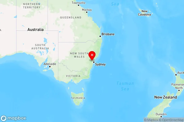
Grose WoldGrose Wold Suburb Area Map (Polygon)

Grose Wold Introduction
Grose Wold is a historic house located in the Sydney suburb of Baulkham Hills. It was built in the 1840s and is a fine example of Georgian-style architecture. The house is surrounded by beautiful gardens and is a popular tourist attraction. It is also listed on the New South Wales State Heritage Register.State Name
City or Big Region
District or Regional Area
Suburb Name
Grose Wold Region Map

Country
Main Region in AU
R3Coordinates
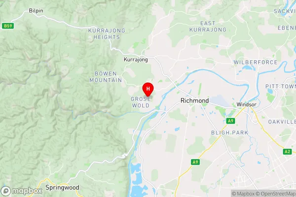
-33.598611,150.684722 (latitude/longitude)Grose Wold Area Map (Street)

Longitude
150.646053Latitude
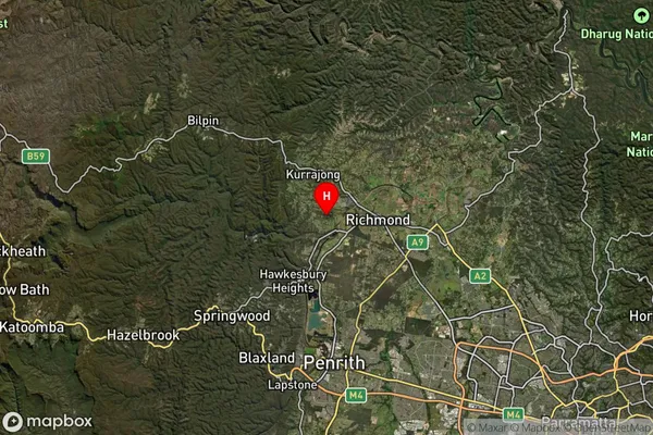
-33.604022Grose Wold Suburb Map (Satellite)

Distances
The distance from Grose Wold, Sydney - Baulkham Hills and Hawkesbury, NSW to AU Greater Capital CitiesSA1 Code 2011
11503130006SA1 Code 2016
11503130006SA2 Code
115031300SA3 Code
11503SA4 Code
115RA 2011
2RA 2016
2MMM 2015
2MMM 2019
2Charge Zone
N1LGA Region
PenrithLGA Code
16350Electorate
Macquarie