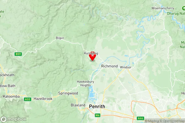
Kurrajong Heights Ebenezer Suburbs & Region, Kurrajong Heights Ebenezer Map & Postcodes
Kurrajong Heights Ebenezer Suburbs & Region, Kurrajong Heights Ebenezer Map & Postcodes in Kurrajong Heights Ebenezer, Blue Mountains, Sydney Outer West and Blue Mountains, NSW, AU
Kurrajong Heights Ebenezer Region
Region Name
Kurrajong Heights Ebenezer (NSW, AU)Kurrajong Heights Ebenezer Area
331.85 square kilometers (331.85 ㎢)Postal Codes
2753, 2754, and from 2756 to 2758 (In total, there are 5 postcodes in Kurrajong Heights Ebenezer.)Kurrajong Heights Ebenezer Introduction
Kurrajong Heights Ebenezer is a heritage-listed church located at 106-110 Macquarie Road, Kurrajong Heights, in the Sydney suburb of Outer West and Blue Mountains, New South Wales, Australia. It was built in 1889 by the architect John Horbury Hunt. The church is of Gothic Revival style and is constructed of sandstone with a slate roof. It features a pointed arch doorway, lancet windows, and a bell tower. The interior of the church has a timber ceiling, stained glass windows, and a pipe organ. The church is part of the Anglican Diocese of Sydney and is used for worship and community activities. It is a significant landmark in the area and is listed on the New South Wales State Heritage Register.Australia State
City or Big Region
Greater Capital City
Greater Sydney (1GSYD)District or Regional Area
Suburb Name
Kurrajong Heights Ebenezer Region Map

Kurrajong Heights Ebenezer Postcodes / Zip Codes
Kurrajong Heights Ebenezer Suburbs
Kurrajong Heights Ebenezer full address
Kurrajong Heights Ebenezer, Blue Mountains, Sydney Outer West and Blue Mountains, New South Wales, NSW, Australia, SaCode: 115031300Country
Kurrajong Heights Ebenezer, Blue Mountains, Sydney Outer West and Blue Mountains, New South Wales, NSW, Australia, SaCode: 115031300
Kurrajong Heights Ebenezer Suburbs & Region, Kurrajong Heights Ebenezer Map & Postcodes has 0 areas or regions above, and there are 16 Kurrajong Heights Ebenezer suburbs below. The sa2code for the Kurrajong Heights Ebenezer region is 115031300. Its latitude and longitude coordinates are -33.584,150.674. Kurrajong Heights Ebenezer area belongs to Australia's greater capital city Greater Sydney.
Kurrajong Heights Ebenezer Suburbs & Localities
1. Grose Wold
2. Freemans Reach
3. Glossodia
4. Wilberforce
5. Kurrajong
6. The Slopes
7. Ebenezer
8. Kurmond
9. Kurrajong Heights
10. Grose Vale
11. Tennyson
12. Blaxlands Ridge
13. Kurrajong Hills
14. Bowen Mountain
15. Sackville
16. East Kurrajong
