Sackville Area, Sackville Postcode(2756) & Map in Sackville, Sydney - Baulkham Hills and Hawkesbury, NSW
Sackville Area, Sackville Postcode(2756) & Map in Sackville, Sydney - Baulkham Hills and Hawkesbury, NSW, AU, Postcode: 2756
Sackville, Kurrajong Heights - Ebenezer, Hawkesbury, Sydney - Baulkham Hills and Hawkesbury, New South Wales, Australia, 2756
Sackville Postcode
Area Name
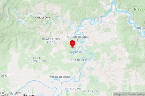
SackvilleSackville Suburb Area Map (Polygon)

Sackville Introduction
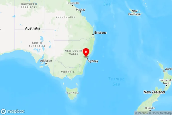
Sackville, Sydney - Baulkham Hills and Hawkesbury, NSW, AU, is a suburb located in the state of New South Wales, Australia. It is part of the Greater Western Sydney region and is situated 38 kilometers northwest of Sydney's central business district. The suburb is named after the Sackville family, who were prominent landholders in the area during the 18th and 19th centuries. Sackville is known for its picturesque gardens, parks, and tranquil atmosphere, making it a popular residential area for families and professionals. It is also home to several major shopping centers, including the Westfield Parramatta and the Castle Hill Shopping Village.State Name
City or Big Region
District or Regional Area
Suburb Name
Sackville Region Map
Country
Main Region in AU
R3Coordinates
-33.4876359,150.8696588 (latitude/longitude)Sackville Area Map (Street)
Longitude
150.88744Latitude
-33.466271Sackville Elevation
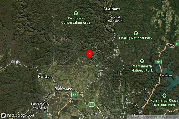
about 93.06 meters height above sea level (Altitude)Sackville Suburb Map (Satellite)
Distances
The distance from Sackville, Sydney - Baulkham Hills and Hawkesbury, NSW to AU Greater Capital CitiesSA1 Code 2011
11503130021SA1 Code 2016
11503130021SA2 Code
115031300SA3 Code
11503SA4 Code
115RA 2011
2RA 2016
2MMM 2015
2MMM 2019
5Charge Zone
N1LGA Region
The Hills ShireLGA Code
17420Electorate
Macquarie