Glossodia Area, Glossodia Postcode(2756) & Map in Glossodia, Sydney - Baulkham Hills and Hawkesbury, NSW
Glossodia Area, Glossodia Postcode(2756) & Map in Glossodia, Sydney - Baulkham Hills and Hawkesbury, NSW, AU, Postcode: 2756
Glossodia, Kurrajong Heights - Ebenezer, Hawkesbury, Sydney - Baulkham Hills and Hawkesbury, New South Wales, Australia, 2756
Glossodia Postcode
Area Name
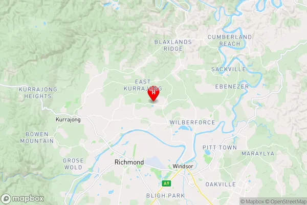
GlossodiaGlossodia Suburb Area Map (Polygon)

Glossodia Introduction
Glossodia is a genus of flowering plants in the family Asteraceae. It is native to Australia and is found in New South Wales, Australia. The flowers of Glossodia are small and daisy-like, and they come in a variety of colors, including white, pink, and yellow. The plants are often used in gardens and landscapes as ornamental plants, and they are also known for their medicinal properties.State Name
City or Big Region
District or Regional Area
Suburb Name
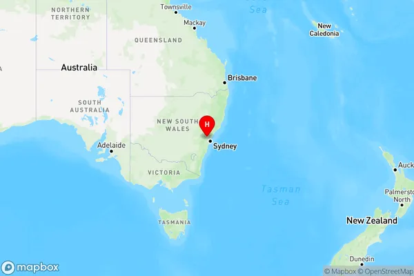
Glossodia Region Map
Country
Main Region in AU
R3Coordinates
-33.53432,150.78231 (latitude/longitude)Glossodia Area Map (Street)
Longitude
150.88744Latitude
-33.466271Glossodia Elevation
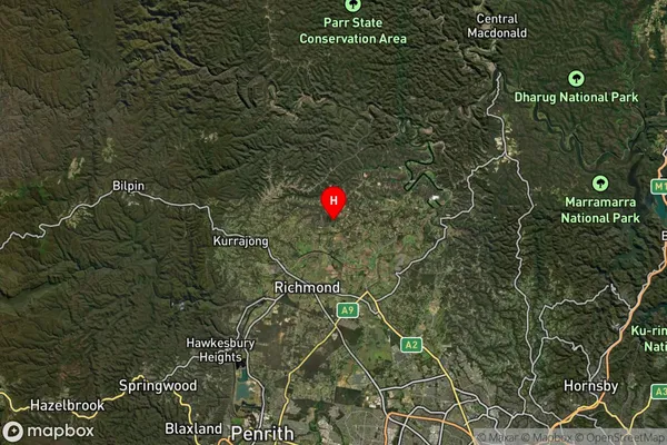
about 93.06 meters height above sea level (Altitude)Glossodia Suburb Map (Satellite)
Distances
The distance from Glossodia, Sydney - Baulkham Hills and Hawkesbury, NSW to AU Greater Capital CitiesSA1 Code 2011
11503130053SA1 Code 2016
11503130053SA2 Code
115031300SA3 Code
11503SA4 Code
115RA 2011
2RA 2016
2MMM 2015
2MMM 2019
2Charge Zone
N1LGA Region
The Hills ShireLGA Code
17420Electorate
Macquarie