Ebenezer Area, Ebenezer Postcode(2756) & Map in Ebenezer, Sydney - Baulkham Hills and Hawkesbury, NSW
Ebenezer Area, Ebenezer Postcode(2756) & Map in Ebenezer, Sydney - Baulkham Hills and Hawkesbury, NSW, AU, Postcode: 2756
Ebenezer, Kurrajong Heights - Ebenezer, Hawkesbury, Sydney - Baulkham Hills and Hawkesbury, New South Wales, Australia, 2756
Ebenezer Postcode
Area Name
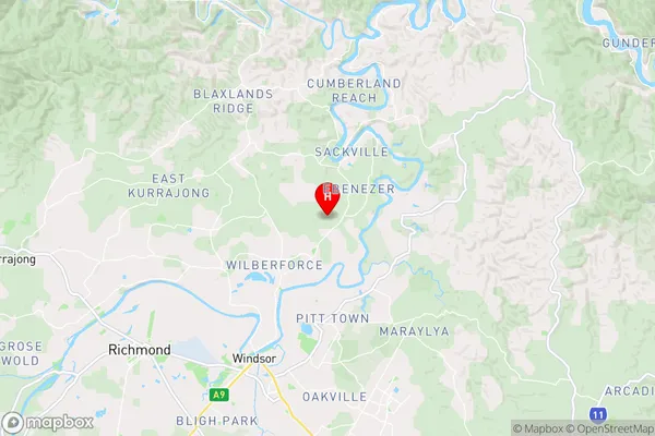
EbenezerEbenezer Suburb Area Map (Polygon)

Ebenezer Introduction
Ebenezer is a suburb in the Hills District of Sydney, in the state of New South Wales, Australia. It is located 28 kilometers northwest of Sydney's central business district and is part of the Macarthur region. Ebenezer is named after the Ebenezer Church, which was established in 1818. The suburb has a population of around 11,000 people and is known for its peaceful atmosphere and scenic surroundings.State Name
City or Big Region
District or Regional Area
Suburb Name
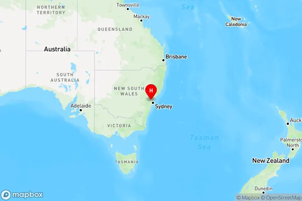
Ebenezer Region Map
Country
Main Region in AU
R3Coordinates
-33.5318,150.8679 (latitude/longitude)Ebenezer Area Map (Street)
Longitude
150.88744Latitude
-33.466271Ebenezer Elevation
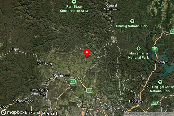
about 93.06 meters height above sea level (Altitude)Ebenezer Suburb Map (Satellite)
Distances
The distance from Ebenezer, Sydney - Baulkham Hills and Hawkesbury, NSW to AU Greater Capital CitiesSA1 Code 2011
11503130023SA1 Code 2016
11503130023SA2 Code
115031300SA3 Code
11503SA4 Code
115RA 2011
2RA 2016
2MMM 2015
2MMM 2019
2Charge Zone
N1LGA Region
The Hills ShireLGA Code
17420Electorate
Macquarie