Oakville Area, Oakville Postcode(2765) & Map in Oakville, Sydney - Baulkham Hills and Hawkesbury, NSW
Oakville Area, Oakville Postcode(2765) & Map in Oakville, Sydney - Baulkham Hills and Hawkesbury, NSW, AU, Postcode: 2765
Oakville, Pitt Town - McGraths Hill, Rouse Hill - McGraths Hill, Sydney - Baulkham Hills and Hawkesbury, New South Wales, Australia, 2765
Oakville Postcode
Area Name
OakvilleOakville Suburb Area Map (Polygon)
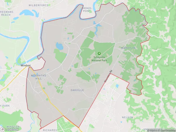
Oakville Introduction
Oakville, Sydney - Baulkham Hills and Hawkesbury, NSW, AU, is a suburb located in the local government area of the City of Hawkesbury. It is situated 35 kilometers northwest of Sydney's central business district and is part of the Greater Western Sydney region. The suburb has a population of around 36,000 people and is known for its scenic countryside and peaceful atmosphere. It is home to several parks, including Oakville Reserve and Hawkesbury River Reserve, and is surrounded by beautiful wineries and restaurants.State Name
City or Big Region
District or Regional Area
Suburb Name
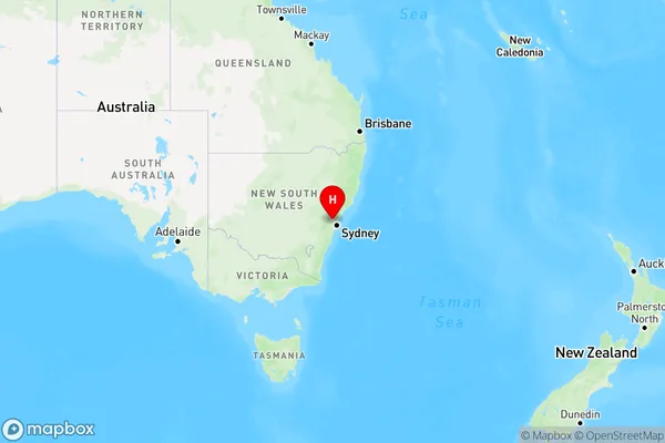
Oakville Region Map
Country
Main Region in AU
R1Coordinates
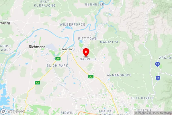
-33.6222,150.8669 (latitude/longitude)Oakville Area Map (Street)
Longitude
150.860258Latitude
-33.663002Oakville Elevation
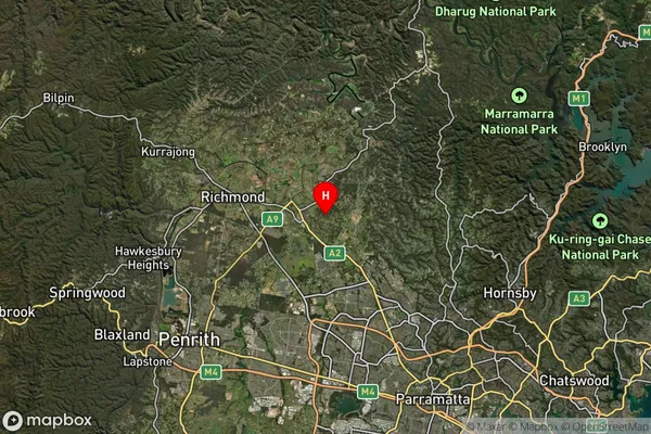
about 42.71 meters height above sea level (Altitude)Oakville Suburb Map (Satellite)
Distances
The distance from Oakville, Sydney - Baulkham Hills and Hawkesbury, NSW to AU Greater Capital CitiesSA1 Code 2011
11504130122SA1 Code 2016
11504130122SA2 Code
115041301SA3 Code
11504SA4 Code
115RA 2011
1RA 2016
1MMM 2015
1MMM 2019
1Charge Zone
N1LGA Region
BlacktownLGA Code
10750Electorate
Mitchell