Londonderry Area, Londonderry Postcode(2753) & Map in Londonderry, Sydney - Outer West and Blue Mountains, NSW
Londonderry Area, Londonderry Postcode(2753) & Map in Londonderry, Sydney - Outer West and Blue Mountains, NSW, AU, Postcode: 2753
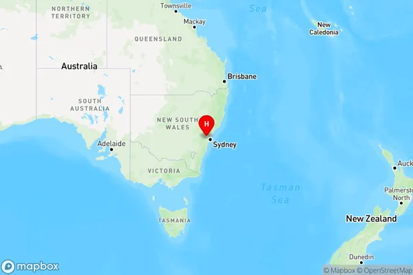
Londonderry, Yarramundi - Londonderry, Richmond - Windsor, Sydney - Outer West and Blue Mountains, New South Wales, Australia, 2753
Londonderry Postcode
Area Name
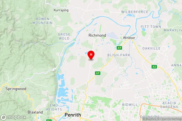
LondonderryLondonderry Suburb Area Map (Polygon)

Londonderry Introduction
Londonderry is a suburb in the City of Canada Bay, located 16 kilometers west of Sydney's central business district. It is part of the Greater Western Sydney region and is known for its historic architecture and vibrant community. The suburb has a rich history dating back to the 18th century, and it was named after the city of Derry in Northern Ireland. Londonderry is home to a variety of shops, cafes, and restaurants, as well as several parks and recreational facilities. It is also well-connected to public transportation, with buses and trains running regularly to the city center.State Name
City or Big Region
District or Regional Area
Suburb Name
Londonderry Region Map
Country
Main Region in AU
R3Coordinates
-33.6485,150.7355 (latitude/longitude)Londonderry Area Map (Street)
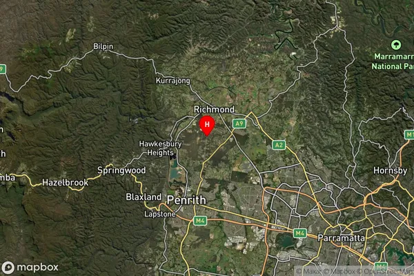
Longitude
150.646053Latitude
-33.604022Londonderry Suburb Map (Satellite)
Distances
The distance from Londonderry, Sydney - Outer West and Blue Mountains, NSW to AU Greater Capital CitiesSA1 Code 2011
12404146801SA1 Code 2016
12404146801SA2 Code
124041468SA3 Code
12404SA4 Code
124RA 2011
1RA 2016
1MMM 2015
1MMM 2019
1Charge Zone
N1LGA Region
PenrithLGA Code
16350Electorate
Macquarie