Berkshire Park Area, Berkshire Park Postcode(2765) & Map in Berkshire Park, Sydney - Outer West and Blue Mountains, NSW
Berkshire Park Area, Berkshire Park Postcode(2765) & Map in Berkshire Park, Sydney - Outer West and Blue Mountains, NSW, AU, Postcode: 2765
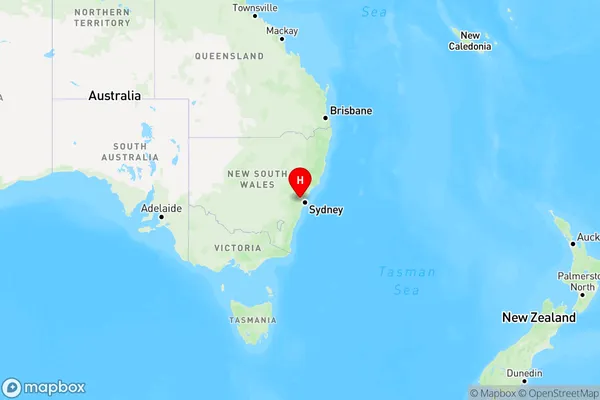
Berkshire Park, Yarramundi - Londonderry, Richmond - Windsor, Sydney - Outer West and Blue Mountains, New South Wales, Australia, 2765
Berkshire Park Postcode
Area Name
Berkshire ParkBerkshire Park Suburb Area Map (Polygon)

Berkshire Park Introduction
Berkshire Park is a suburb in the local government area of the City of Canada Bay, located in Sydney's outer west and Blue Mountains, NSW, AU. It is situated 48 kilometers west of Sydney's central business district. Berkshire Park is a residential suburb with a mixture of houses and apartments. It has a small shopping center with a supermarket, cafes, and restaurants. The suburb has a park with a playground, walking tracks, and a cricket pitch. It is also home to the Berkshire Park Public School and the St John of God Catholic Primary School.State Name
City or Big Region
District or Regional Area
Suburb Name
Berkshire Park Region Map
Country
Main Region in AU
R1Coordinates
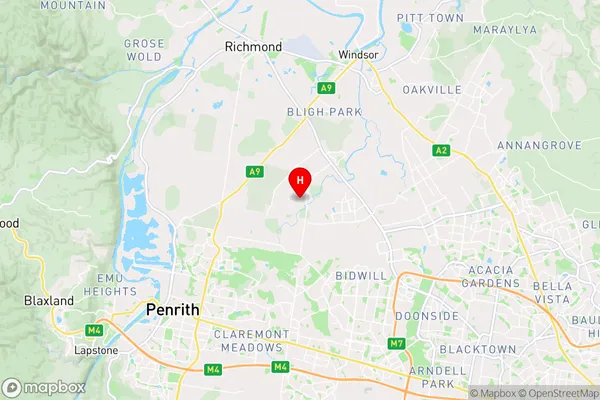
-33.6886,150.78165 (latitude/longitude)Berkshire Park Area Map (Street)
Longitude
150.860258Latitude
-33.663002Berkshire Park Elevation
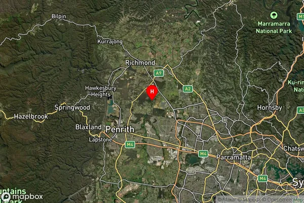
about 42.71 meters height above sea level (Altitude)Berkshire Park Suburb Map (Satellite)
Distances
The distance from Berkshire Park, Sydney - Outer West and Blue Mountains, NSW to AU Greater Capital CitiesSA1 Code 2011
12404146803SA1 Code 2016
12404146803SA2 Code
124041468SA3 Code
12404SA4 Code
124RA 2011
1RA 2016
1MMM 2015
1MMM 2019
1Charge Zone
N1LGA Region
BlacktownLGA Code
10750Electorate
Mitchell