Vineyard Area, Vineyard Postcode(2765) & Map in Vineyard, Sydney - Blacktown, NSW
Vineyard Area, Vineyard Postcode(2765) & Map in Vineyard, Sydney - Blacktown, NSW, AU, Postcode: 2765
Vineyard, Riverstone - Marsden Park, Blacktown - North, Sydney - Blacktown, New South Wales, Australia, 2765
Vineyard Postcode
Area Name
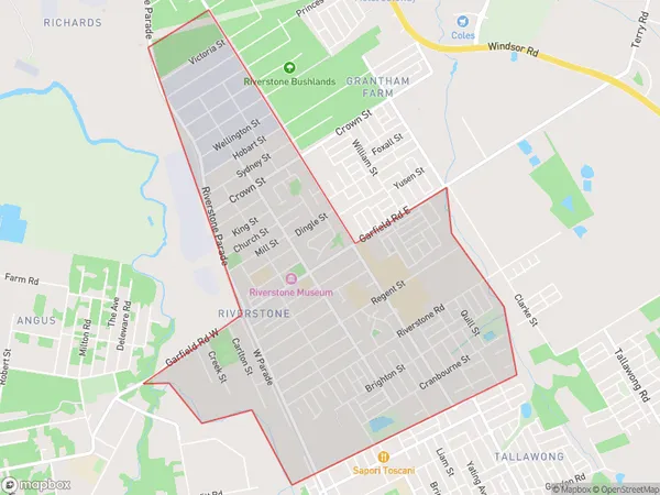
VineyardVineyard Suburb Area Map (Polygon)
Vineyard Introduction
Vineyard is a suburb in the Blacktown region of Sydney, New South Wales, Australia. It is located 32 kilometers west of Sydney's central business district and is part of the City of Blacktown. The suburb is named after the Vineyard Creek that runs through it. Vineyard has a variety of housing styles, including detached houses, townhouses, and apartments. It is home to a number of parks and recreational facilities, including the Vineyard Golf Club and the Blacktown Showground. The area is also well-serviced by public transport, with several bus routes and the Blacktown railway station located within walking distance.State Name
City or Big Region
District or Regional Area
Suburb Name
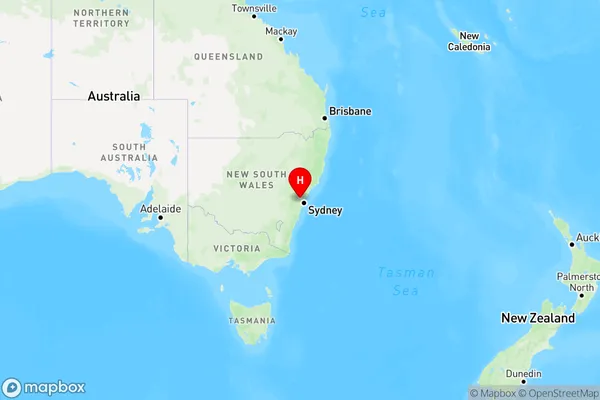
Vineyard Region Map
Country
Main Region in AU
R1Coordinates
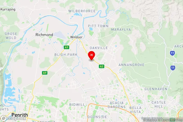
-33.6502,150.856 (latitude/longitude)Vineyard Area Map (Street)
Longitude
150.860258Latitude
-33.663002Vineyard Elevation
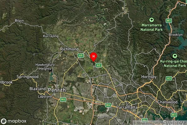
about 42.71 meters height above sea level (Altitude)Vineyard Suburb Map (Satellite)
Distances
The distance from Vineyard, Sydney - Blacktown, NSW to AU Greater Capital CitiesSA1 Code 2011
11602131212SA1 Code 2016
11602131234SA2 Code
116021312SA3 Code
11602SA4 Code
116RA 2011
1RA 2016
1MMM 2015
1MMM 2019
1Charge Zone
N1LGA Region
BlacktownLGA Code
10750Electorate
Mitchell