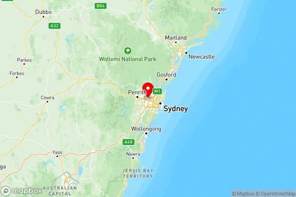
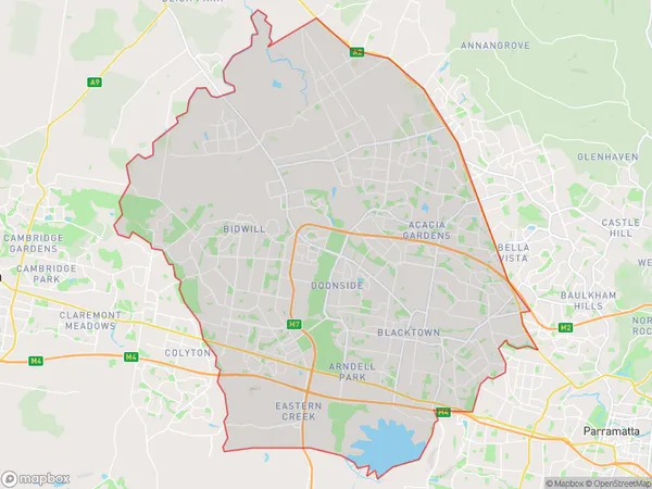
Sydney Blacktown Suburbs & Region, Sydney Blacktown Map & Postcodes
Sydney Blacktown Suburbs & Region, Sydney Blacktown Map & Postcodes in Sydney Blacktown, NSW, AU
Sydney Blacktown Region
Region Name
Sydney Blacktown (NSW, AU)Sydney Blacktown Area
240.88 square kilometers (240.88 ㎢)Postal Codes
1730, 2147, 2155, from 2761 to 2763, and from 2766 to 2770 (In total, there are 11 postcodes in Sydney Blacktown.)Sydney Blacktown Introduction
Sydney Blacktown is a suburb of Sydney, located in the state of New South Wales, Australia. It is situated 23 kilometers west of the Sydney central business district and is part of the Greater Western Sydney region. Blacktown is known for its diverse population and vibrant cultural heritage. The suburb has a significant Muslim community, with many mosques and halal restaurants. It is also home to a large number of immigrants from various African and Asian countries, contributing to its rich cultural diversity. Blacktown is home to several major shopping centers, including Blacktown Plaza and Westfield Blacktown. It also has a number of parks and recreational facilities, including Blacktown Olympic Park and Blacktown Showground. The suburb is well-connected to public transportation, with several bus routes and train stations serving the area.Australia State
City or Big Region
Sydney Blacktown Region Map

Sydney Blacktown Postcodes / Zip Codes
Sydney Blacktown Suburbs
Blacktown North
Mount Druitt
Sydney Blacktown full address
Sydney Blacktown, New South Wales, NSW, Australia, SaCode: 116Country
Sydney Blacktown, New South Wales, NSW, Australia, SaCode: 116
Sydney Blacktown Suburbs & Region, Sydney Blacktown Map & Postcodes has 3 areas or regions above, and there are 44 Sydney Blacktown suburbs below. The sa4code for the Sydney Blacktown region is 116. Its latitude and longitude coordinates are -33.7779,150.932.
Sydney Blacktown Suburbs & Localities
1. Kellyville
2. Doonside
3. Kings Langley
4. Seven Hills
5. Glenwood
6. The Ponds
7. Schofields
8. Colebee
9. Nirimba Fields
10. Bidwill
11. Eastern Creek
