Blacktown Suburbs & Region, Blacktown Map & Postcodes
Blacktown Suburbs & Region, Blacktown Map & Postcodes in Blacktown, Sydney Blacktown, NSW, AU
Blacktown Region
Region Name
Blacktown (NSW, AU)Blacktown Area
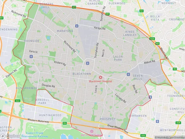
55.93 square kilometers (55.93 ㎢)Blacktown Suburb Area Map (Polygon)
Blacktown Introduction
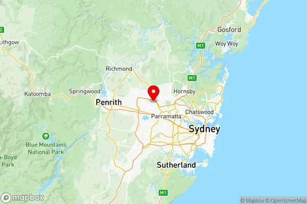
Blacktown is a suburb of Sydney, located 23 kilometers west of the CBD. It is known for its diverse population and rich cultural heritage. The suburb has a large Muslim community and is home to the largest mosque in New South Wales. It also has a significant Italian and Greek population and is known for its vibrant food and entertainment scene. Blacktown is home to the Blacktown International Sports Park, which is a major sporting and entertainment venue. The suburb is also home to the Blacktown Workers Club, which is a popular venue for live music and entertainment.Australia State
City or Big Region
District or Regional Area
Blacktown Region Map
Blacktown Suburbs
Lalor Park Kings Langley
Seven Hills Prospect
Blacktown full address
Blacktown, Sydney Blacktown, New South Wales, NSW, Australia, SaCode: 11601Country
Blacktown, Sydney Blacktown, New South Wales, NSW, Australia, SaCode: 11601
Blacktown Suburbs & Region, Blacktown Map & Postcodes has 5 areas or regions above, and there are 0 Blacktown suburbs below. The sa3code for the Blacktown region is 11601. Its latitude and longitude coordinates are -33.75,150.935.