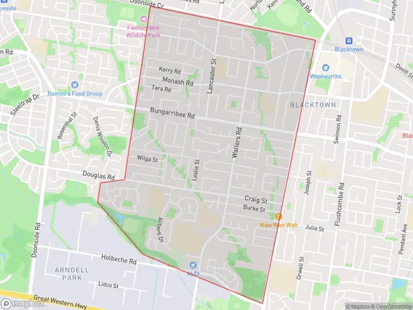
Blacktown West Suburbs & Region, Blacktown West Map & Postcodes
Blacktown West Suburbs & Region, Blacktown West Map & Postcodes in Blacktown West, Blacktown, Sydney Blacktown, NSW, AU
Blacktown West Region
Region Name
Blacktown West (NSW, AU)Blacktown West Area
4.68 square kilometers (4.68 ㎢)Blacktown West Introduction
Blacktown West is a suburb of Sydney, in the state of New South Wales, Australia. It is located 23 kilometers west of the Sydney central business district and is part of the City of Blacktown. The suburb is known for its large population of Asian immigrants, particularly from India and Pakistan. It has a variety of shops, restaurants, and cultural institutions, including a Hindu temple and a mosque. Blacktown West is also home to the Blacktown International Sports Park, which is a major sporting and entertainment venue. The suburb is well-connected to other parts of Sydney via public transportation, with the Blacktown railway station located on the Main Western line.Australia State
City or Big Region
Greater Capital City
Greater Sydney (1GSYD)District or Regional Area
Suburb Name
Blacktown West Suburbs
Blacktown West full address
Blacktown West, Blacktown, Sydney Blacktown, New South Wales, NSW, Australia, SaCode: 116011561Country
Blacktown West, Blacktown, Sydney Blacktown, New South Wales, NSW, Australia, SaCode: 116011561
Blacktown West Suburbs & Region, Blacktown West Map & Postcodes has 0 areas or regions above, and there are 0 Blacktown West suburbs below. The sa2code for the Blacktown West region is 116011561. Blacktown West area belongs to Australia's greater capital city Greater Sydney.
