Box Hill Area, Box Hill Postcode(2765) & Map in Box Hill, Sydney - Baulkham Hills and Hawkesbury, NSW
Box Hill Area, Box Hill Postcode(2765) & Map in Box Hill, Sydney - Baulkham Hills and Hawkesbury, NSW, AU, Postcode: 2765
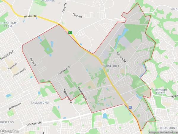
Box Hill, Rouse Hill - Beaumont Hills, Rouse Hill - McGraths Hill, Sydney - Baulkham Hills and Hawkesbury, New South Wales, Australia, 2765
Box Hill Postcode
Area Name
Box HillBox Hill Suburb Area Map (Polygon)
Box Hill Introduction
Box Hill is a suburb in Sydney's north-west, located 21 kilometres from the CBD. It is part of the Hills District and is known for its scenic views, parks, and recreational facilities. The suburb has a diverse population and is home to many families, young professionals, and students. It is also home to several major hospitals and medical centres, including the Prince of Wales Hospital and the Sydney Children's Hospital.State Name
City or Big Region
District or Regional Area
Suburb Name
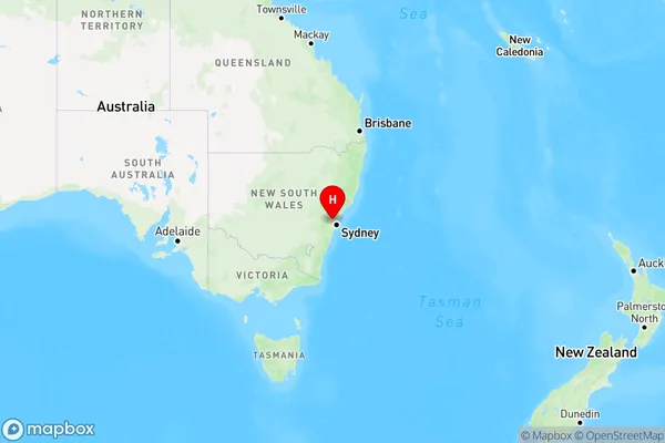
Box Hill Region Map
Country
Main Region in AU
R1Coordinates
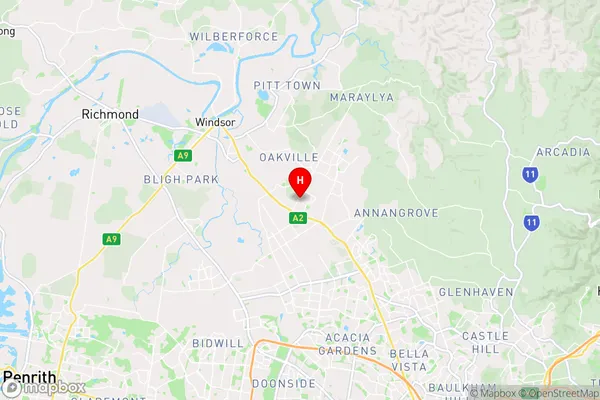
-33.65,150.88 (latitude/longitude)Box Hill Area Map (Street)
Longitude
150.860258Latitude
-33.663002Box Hill Elevation
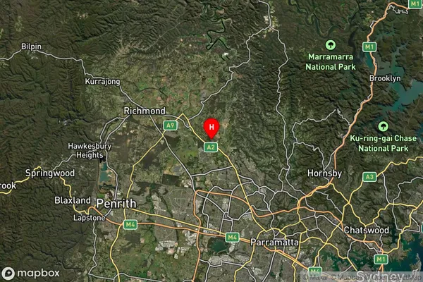
about 42.71 meters height above sea level (Altitude)Box Hill Suburb Map (Satellite)
Distances
The distance from Box Hill, Sydney - Baulkham Hills and Hawkesbury, NSW to AU Greater Capital CitiesSA1 Code 2011
11504130221SA1 Code 2016
11504130221SA2 Code
115041302SA3 Code
11504SA4 Code
115RA 2011
1RA 2016
1MMM 2015
1MMM 2019
1Charge Zone
N1LGA Region
BlacktownLGA Code
10750Electorate
Mitchell