Yarramundi Area, Yarramundi Postcode(2753) & Map in Yarramundi, Sydney - Outer West and Blue Mountains, NSW
Yarramundi Area, Yarramundi Postcode(2753) & Map in Yarramundi, Sydney - Outer West and Blue Mountains, NSW, AU, Postcode: 2753
Yarramundi, Yarramundi - Londonderry, Richmond - Windsor, Sydney - Outer West and Blue Mountains, New South Wales, Australia, 2753
Yarramundi Postcode
Area Name
YarramundiYarramundi Suburb Area Map (Polygon)

Yarramundi Introduction
Yarramundi is a suburb in the City of Canada Bay, located 20 kilometers west of Sydney's central business district. It is part of the Greater Western Sydney region and is known for its natural beauty, including Yarramundi Reserve and the Blue Mountains National Park. The suburb has a population of around 11,000 people and is home to a variety of housing types, including apartments, townhouses, and detached homes. Yarramundi is well-connected to other parts of Sydney, with easy access to the M4 motorway and public transportation. It is also a popular destination for outdoor enthusiasts, with many walking and cycling trails in the surrounding area.State Name
City or Big Region
District or Regional Area
Suburb Name
Yarramundi Region Map
Country
Main Region in AU
R3Coordinates
-33.6222,150.6709 (latitude/longitude)Yarramundi Area Map (Street)
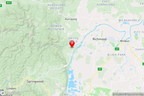
Longitude
150.646053Latitude
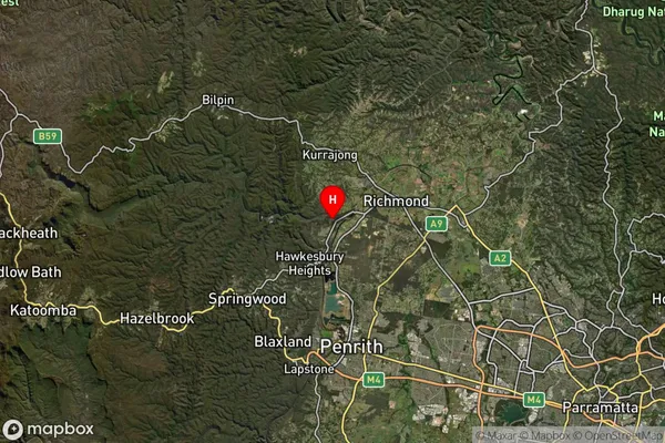
-33.604022Yarramundi Suburb Map (Satellite)
Distances
The distance from Yarramundi, Sydney - Outer West and Blue Mountains, NSW to AU Greater Capital CitiesSA1 Code 2011
12404146817SA1 Code 2016
12404146817SA2 Code
124041468SA3 Code
12404SA4 Code
124RA 2011
1RA 2016
1MMM 2015
1MMM 2019
1Charge Zone
N1LGA Region
PenrithLGA Code
16350Electorate
Macquarie