Rodney Suburbs & Region, Rodney Map & Postcodes in Rodney, Auckland
Rodney Postcodes, Rodney ZipCodes, Rodney , Rodney Auckland, Rodney Suburbs, Rodney Region, Rodney Map, Rodney Area
Rodney Region
Rodney Suburbs
Rodney is a district place type in Auckland, NZ. It contains 63 suburbs or localities.Rodney district
RodneyRodney Introduction
Rodney is a suburb of Auckland, New Zealand, with a population of around 40,000 people. It is located in the northern part of the Auckland region and is known for its scenic beaches, lush parks, and vibrant community. The suburb has a rich history, with many historic buildings and sites, including the Rodney District Museum and the Rodney Shopping Centre. Rodney is also home to a number of popular attractions, including the North Shore Zoo, the Auckland Botanical Gardens, and the Mt. Smart Stadium.Rodney Region
Rodney City
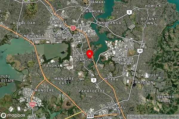
Rodney Satellite Map

Full Address
Rodney, AucklandRodney Coordinates
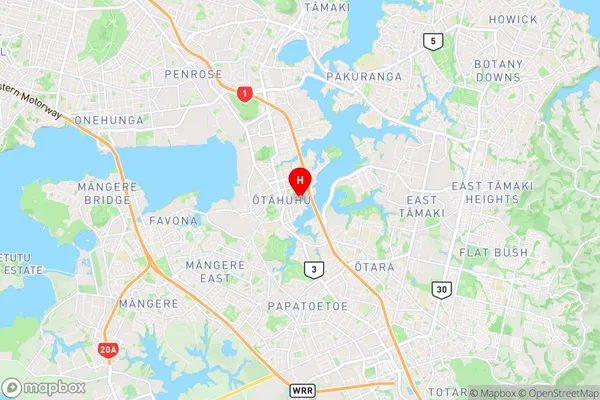
-36.9456165,174.8514806 (Latitude / Longitude)Rodney Map in NZ

NZ Island
North IslandCountry
Rodney Suburbs (Sort by Population)
Rodney Suburbs (Sort in alphabetical)
Albany Heights
Algies Bay
Ara Hills
Arkles Bay
Army Bay
Coatesville
Dairy Flat
Gulf Harbour
Hatfields Beach
Helensville
Hibiscus Coast Surrounds
Huapai
Kaipara Flats
Kaukapakapa
Kumeu
Leigh
Mahurangi East
Mahurangi West
Makarau
Manly
Matakana
Matakatia
Milldale
Millwater
Muriwai
Omaha
Orewa
Pakiri
Parakai
Point Wells
Port Albert
Puhoi
Red Beach
Redvale
Riverhead
Sandspit
Shelly Beach
Silverdale
Snells Beach
South Head
Stanmore Bay
Stillwater
Tapora
Tauhoa
Taupaki
Tawharanui Peninsula
Te Arai
Te Hana
Ti Point
Tindalls Beach
Tomarata
Waimauku
Wainui
Waitoki
Waiwera
Warkworth
Wayby Valley
Wellsford
Whangaparaoa
Whangaripo
Whangateau
Wharehine
Woodhill Forest
