South Head Suburbs & Region, South Head Map & Postcodes in South Head, Rodney, Auckland
South Head Postcodes, South Head ZipCodes, South Head , South Head Auckland, South Head Suburbs, South Head Region, South Head Map, South Head Area
South Head Region (Mairetahi, Parkhurst, Waioneke Region)
South Head Suburbs
South Head is a suburb place type in Rodney, Auckland, NZ. It contains 3 suburbs or localities.South Head district
RodneySouth Head Introduction
South Head is a headland on the southern side of the Auckland Harbour in New Zealand. It is located at the southern entrance of the Waitematā Harbour and is part of the Auckland Region. The headland is known for its stunning coastal views, including the Auckland skyline, the Hauraki Gulf, and the surrounding islands. It is a popular spot for hiking, walking, and picnicking, and is also home to a number of historic military installations. South Head is a significant landmark in New Zealand's history and culture, and is a popular tourist destination.South Head Region
South Head City
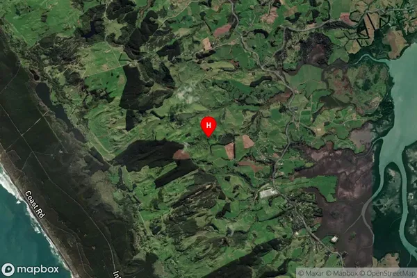
South Head Satellite Map

Full Address
South Head, Rodney, AucklandSouth Head Coordinates
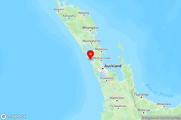
-36.59848,174.317827 (Latitude / Longitude)South Head Map in NZ

NZ Island
North IslandCountry
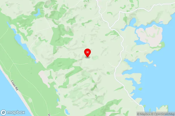
South Head Area Map (Polygon)
Not available for nowName
South HeadAdditional Name
Mairetahi, Parkhurst, WaionekeLocal Authority
Auckland
South Head Suburbs (Sort by Population)
South Head
South Head - 1698Shelly Beach
Shelly Beach - 294Woodhill Forest
Woodhill Forest - 8
