South Head Area, South Head Postcode(3297) & Map in South Head
South Head Area, South Head Postcode(3297) & Map in South Head, Auckland, New Zealand
South Head, Auckland, New Zealand
South Head Postcodes
South Head Area (estimated)
-1.2 square kilometersSouth Head Population (estimated)
1698 people live in South Head, Waikato, NZSouth Head Suburb Area Map (Polygon)
Not available for nowSouth Head Introduction
South Head is a headland on the southern side of the entrance to the Bay of Islands in New Zealand. It is a popular tourist destination and is known for its scenic views, walking tracks, and lighthouse. The headland is also home to a large colony of New Zealand fur seals.Region
Major City
Suburb Name
South HeadOther Name(s)
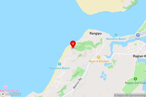
Mairetahi, Parkhurst, WaionekeSouth Head Area Map (Street)
Local Authority
AucklandFull Address
South Head, Auckland, New ZealandAddress Type
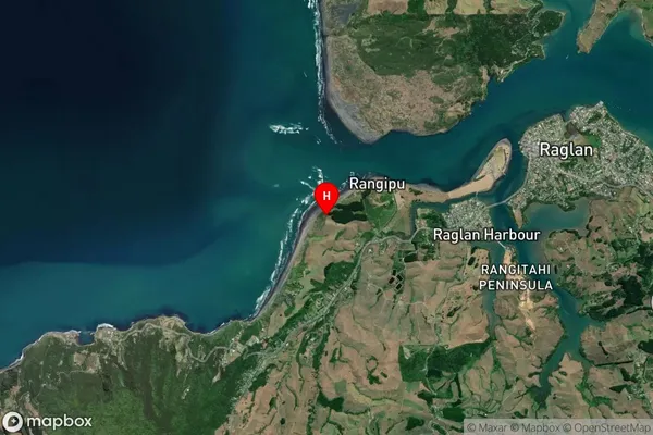
Locality in Town South HeadSouth Head Suburb Map (Satellite)
Country
Main Region in AU
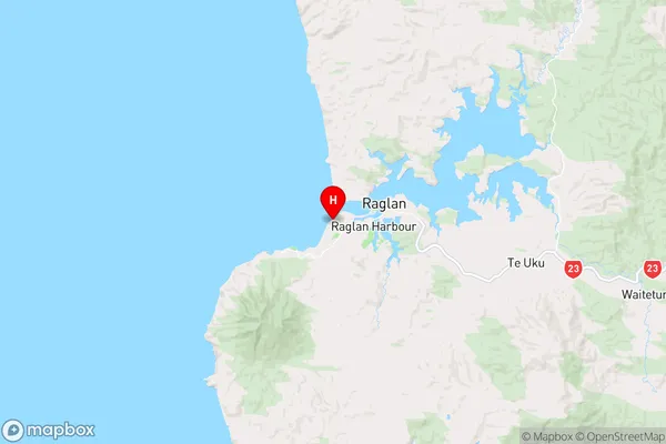
WaikatoSouth Head Region Map
Coordinates
-37.808854,174.836647 (latitude/longitude)Distances
The distance from South Head, South Head, Auckland to NZ Top 10 Cities