Woodhill Forest Area, Woodhill Forest Postcode(1148) & Map in Woodhill Forest
Woodhill Forest Area, Woodhill Forest Postcode(1148) & Map in Woodhill Forest, Auckland, New Zealand
Woodhill Forest, Auckland, New Zealand
Woodhill Forest Postcodes
Woodhill Forest Area (estimated)
110.1 square kilometersWoodhill Forest Population (estimated)
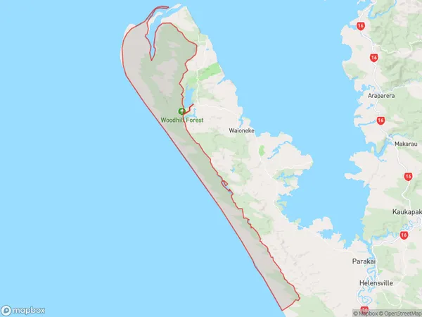
8 people live in Woodhill Forest, Rodney, NZWoodhill Forest Suburb Area Map (Polygon)
Woodhill Forest Introduction
Woodhill Forest is a large forest located in the South Head area of Auckland, New Zealand. It is a popular spot for hiking, mountain biking, and picnicking, with many scenic trails and breathtaking views of the surrounding landscape. The forest is home to a variety of native plants and animals, including kauri trees, tui, and kereru. It is also a significant conservation area, with many efforts being made to protect and preserve the forest and its biodiversity.Region
Major City
Suburb Name
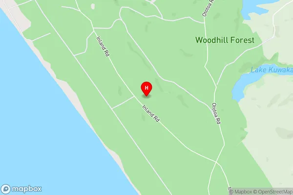
Woodhill ForestWoodhill Forest Area Map (Street)
Local Authority
AucklandFull Address
Woodhill Forest, Auckland, New ZealandAddress Type
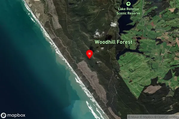
Locality in Town South HeadWoodhill Forest Suburb Map (Satellite)
Country
Main Region in AU
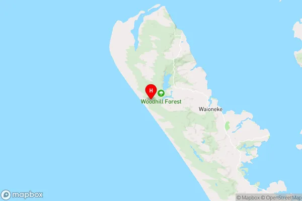
AucklandWoodhill Forest Region Map
Coordinates
-36.53179865,174.216579424213 (latitude/longitude)Distances
The distance from Woodhill Forest, South Head, Auckland to NZ Top 10 Cities