Leigh Suburbs & Region, Leigh Map & Postcodes in Leigh, Rodney, Auckland
Leigh Postcodes, Leigh ZipCodes, Leigh , Leigh Auckland, Leigh Suburbs, Leigh Region, Leigh Map, Leigh Area
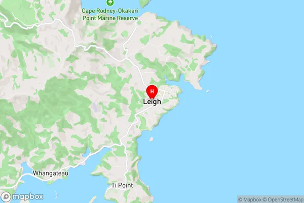
Leigh Region
Leigh Suburbs
Leigh is a suburb place type in Rodney, Auckland, NZ. It contains 2 suburbs or localities.Leigh district
RodneyLeigh Introduction
Leigh, Auckland, New Zealand, is a suburban area located in the North Shore region. It is known for its beautiful beaches, lush parks, and vibrant community. The area has a rich history, with many historic buildings and landmarks. Leigh is home to a variety of shops, restaurants, and cafes, as well as a large library and community center. The area is also well-connected to other parts of Auckland, with easy access to public transportation.Leigh Region
Leigh City
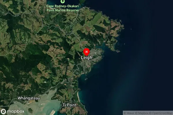
Leigh Satellite Map

Full Address
Leigh, Rodney, AucklandLeigh Coordinates
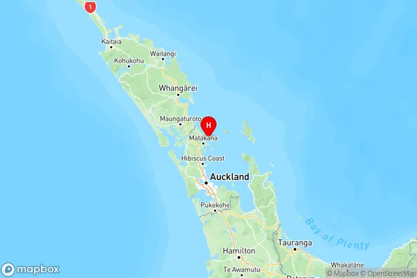
-36.293163,174.800106 (Latitude / Longitude)Leigh Map in NZ

NZ Island
North IslandCountry
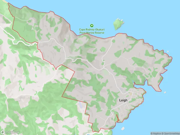
Leigh Area Map (Polygon)

Name
LeighAdditional Name
Local Authority
Auckland
