Leigh Area, Leigh Postcode(0920) & Map in Leigh
Leigh Area, Leigh Postcode(0920) & Map in Leigh, Auckland, New Zealand
Leigh, Auckland, New Zealand
Leigh Area (estimated)
17.8 square kilometersLeigh Population (estimated)
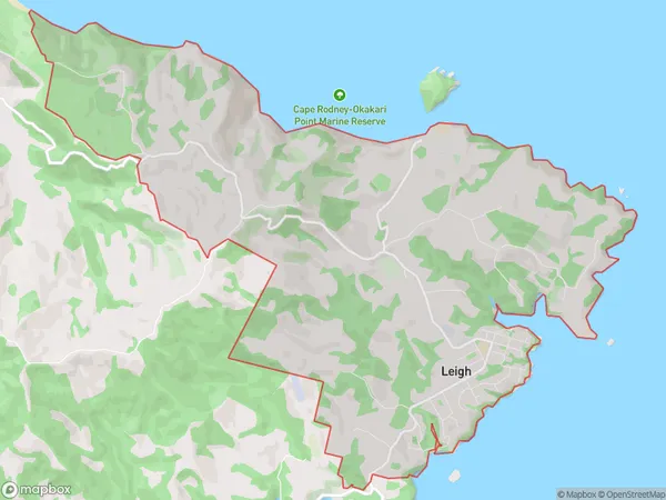
900 people live in Leigh, Rodney, NZLeigh Suburb Area Map (Polygon)
Leigh Introduction
Leigh, Leigh, Auckland, NZ, is a suburban area with a population of around 5,000 people. It is located in the Rodney District and is known for its rural atmosphere and picturesque surroundings. The area has a number of historic buildings and is popular with outdoor enthusiasts and families.Region
Major City
Suburb Name
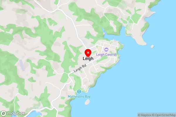
LeighLeigh Area Map (Street)
Local Authority
AucklandFull Address
Leigh, Auckland, New ZealandAddress Type
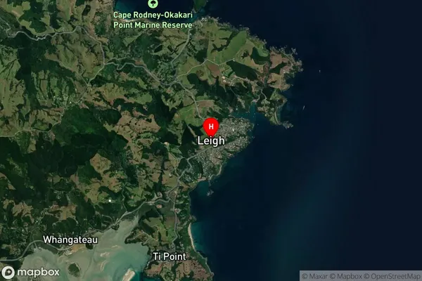
Locality in Major Locality LeighLeigh Suburb Map (Satellite)
Country
Main Region in AU
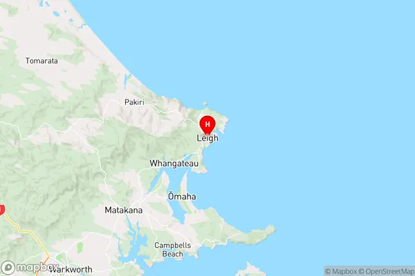
AucklandLeigh Region Map
Coordinates
-36.2931634,174.8001062 (latitude/longitude)Distances
The distance from Leigh, Leigh, Auckland to NZ Top 10 Cities