Sandspit Suburbs & Region, Sandspit Map & Postcodes in Sandspit, Rodney, Auckland
Sandspit Postcodes, Sandspit ZipCodes, Sandspit , Sandspit Auckland, Sandspit Suburbs, Sandspit Region, Sandspit Map, Sandspit Area
Sandspit Region
Sandspit Suburbs
Sandspit is a suburb place type in Rodney, Auckland, NZ. It contains 0 suburbs or localities.Sandspit district
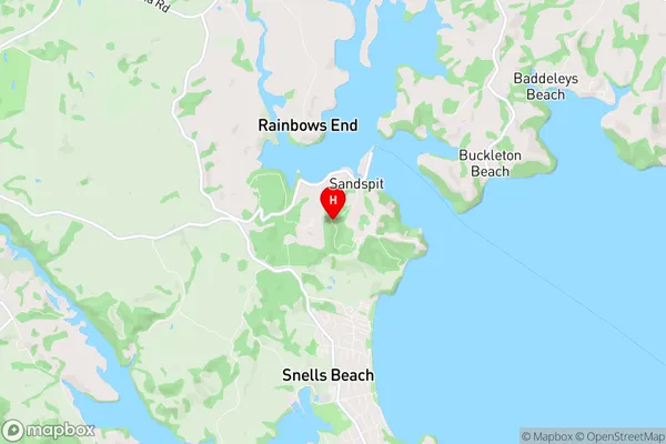
RodneySandspit Region Map

Sandspit Introduction
Sandspit is a suburban beach community on the North Shore of Auckland, New Zealand. It is known for its long sandy beach, which is a popular spot for swimming, sunbathing, and beach sports such as volleyball and surfing. The area also has a number of restaurants, cafes, and shops, as well as a golf course and a marina. Sandspit is located approximately 20 kilometers north of Auckland City and is accessible by bus or car. It is a popular destination for day trips and weekend getaways and is known for its relaxed and laid-back atmosphere.Sandspit Region
Sandspit City
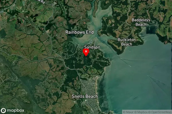
Sandspit Satellite Map

Full Address
Sandspit, Rodney, AucklandSandspit Coordinates
-36.398268,174.723284 (Latitude / Longitude)Sandspit Map in NZ

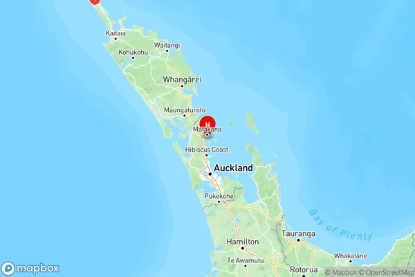
NZ Island
North IslandCountry
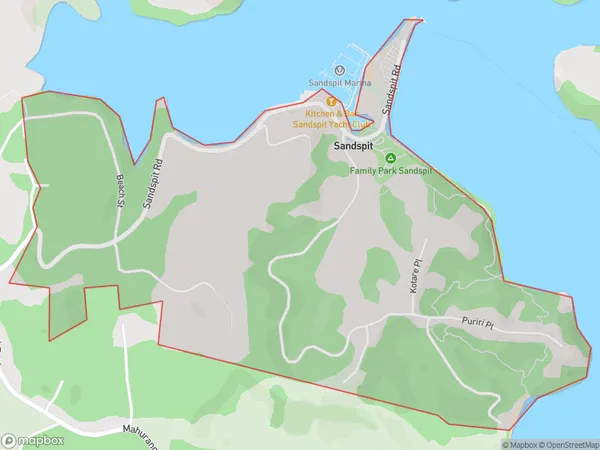
Sandspit Area Map (Polygon)

Name
SandspitAdditional Name
Local Authority
Auckland
Sandspit Suburbs (Sort by Population)
Sandspit suburb has around
2.6 square
kilometers.There are more than 461 people (estimated)
live in Sandspit, Rodney, Auckland, New Zealand.