Te Arai Suburbs & Region, Te Arai Map & Postcodes in Te Arai, Rodney, Auckland
Te Arai Postcodes, Te Arai ZipCodes, Te Arai , Te Arai Auckland, Te Arai Suburbs, Te Arai Region, Te Arai Map, Te Arai Area
Te Arai Region (Te Arai Point Region)
Te Arai Suburbs
Te Arai is a suburb place type in Rodney, Auckland, NZ. It contains 0 suburbs or localities.Te Arai district
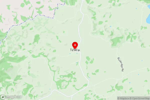
RodneyTe Arai Region Map

Te Arai Introduction
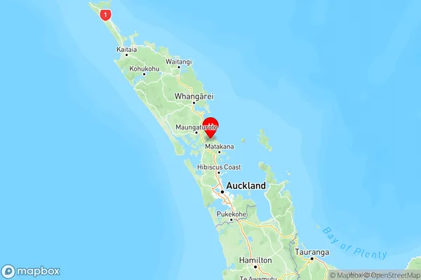
Te Arai is a coastal suburb of Auckland, New Zealand, located on the Hibiscus Coast. It is known for its stunning beaches, lush greenery, and tranquil atmosphere. The suburb has a population of around 10,000 people and is located approximately 30 minutes from Auckland City. Te Arai has a rich cultural heritage, with many historic buildings and sites, including the Te Arai Beach Reserve and the Te Arai Marae. The area is popular with surfers, fishermen, and nature lovers, and is surrounded by picturesque farmland and native bush.Te Arai Region
Te Arai City
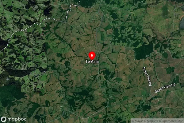
Te Arai Satellite Map

Full Address
Te Arai, Rodney, AucklandTe Arai Coordinates
-36.196806,174.577689 (Latitude / Longitude)Te Arai Map in NZ

NZ Island
North IslandCountry
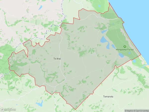
Te Arai Area Map (Polygon)

Name
Te AraiAdditional Name
Te Arai PointLocal Authority
Auckland
Te Arai Suburbs (Sort by Population)
Te Arai also known as Te Arai Point. Te Arai suburb has around
85.4 square
kilometers.There are more than 570 people (estimated)
live in Te Arai, Rodney, Auckland, New Zealand.