Te Arai Area, Te Arai Postcode(1148) & Map in Te Arai
Te Arai Area, Te Arai Postcode(1148) & Map in Te Arai, Auckland, New Zealand
Te Arai, Auckland, New Zealand
Te Arai Postcodes
Te Arai Area (estimated)
85.4 square kilometersTe Arai Population (estimated)
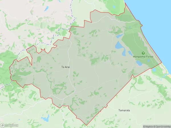
570 people live in Te Arai, Rodney, NZTe Arai Suburb Area Map (Polygon)
Te Arai Introduction
Wellsford, Auckland, New Zealand, is a suburb with a rich history and a diverse population. It is known for its beautiful beaches, lush parks, and vibrant community. The area has a strong sense of community spirit and is home to many cultural and recreational facilities, including a library, a museum, and a sports complex. Wellsford also has a thriving business district with a variety of shops and restaurants.Region
Major City
Suburb Name
Te AraiOther Name(s)
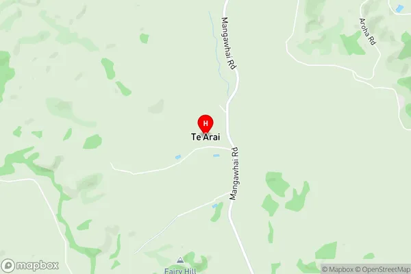
Te Arai PointTe Arai Area Map (Street)
Local Authority
AucklandFull Address
Te Arai, Auckland, New ZealandAddress Type
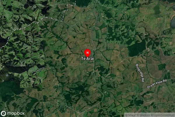
Locality in Town WellsfordTe Arai Suburb Map (Satellite)
Country
Main Region in AU
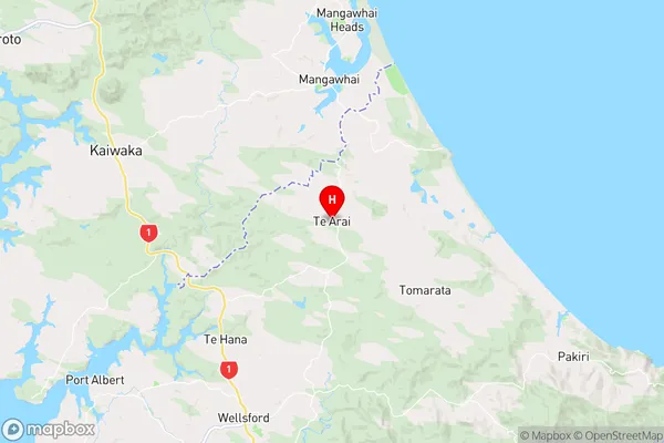
AucklandTe Arai Region Map
Coordinates
-36.1968065,174.5776891 (latitude/longitude)Distances
The distance from Te Arai, Wellsford, Auckland to NZ Top 10 Cities