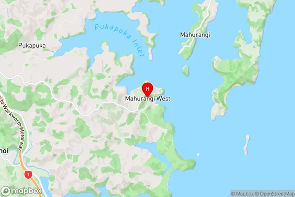
Mahurangi West Suburbs & Region, Mahurangi West Map & Postcodes in Mahurangi West, Rodney, Auckland
Mahurangi West Postcodes, Mahurangi West ZipCodes, Mahurangi West , Mahurangi West Auckland, Mahurangi West Suburbs, Mahurangi West Region, Mahurangi West Map, Mahurangi West Area
Mahurangi West Region
Mahurangi West Suburbs
Mahurangi West is a suburb place type in Rodney, Auckland, NZ. It contains 0 suburbs or localities.Mahurangi West district
RodneyMahurangi West Region Map

Mahurangi West Introduction
Mahurangi West is a suburban area in the North Shore Region of Auckland, New Zealand. It is located between the Waitemata Harbour and the Mahurangi Peninsula, and is known for its beautiful beaches, scenic parks, and rural atmosphere. The area has a population of around 10,000 people and is home to a variety of housing types, including apartments, townhouses, and detached homes. Mahurangi West is also home to a number of popular attractions, including the Mahurangi Regional Park, the Wenderholm Regional Park, and the Waiheke Island Ferry Terminal. The area is well-connected to the rest of Auckland via the motorway network, and is also served by a number of bus and train routes.Mahurangi West Region
Mahurangi West City
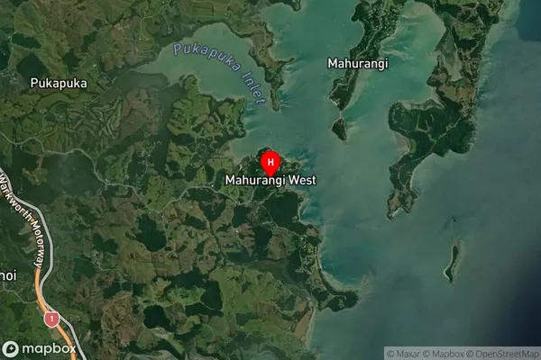
Mahurangi West Satellite Map

Full Address
Mahurangi West, Rodney, AucklandMahurangi West Coordinates
-36.498163,174.71289 (Latitude / Longitude)Mahurangi West Map in NZ

NZ Island
North IslandCountry
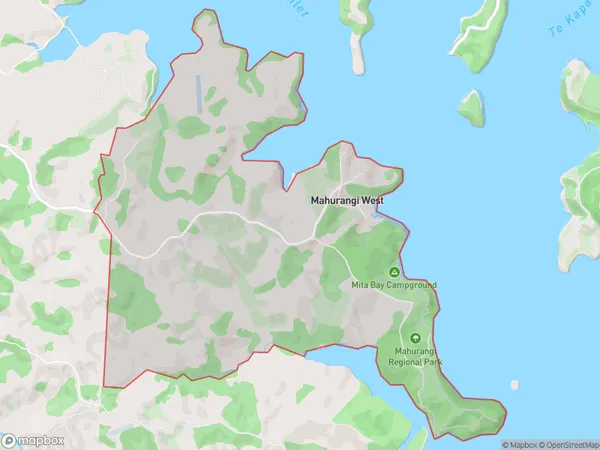
Mahurangi West Area Map (Polygon)

Name
Mahurangi WestAdditional Name
Local Authority
Auckland
Mahurangi West Suburbs (Sort by Population)
Mahurangi West suburb has around
9.0 square
kilometers.There are more than 326 people (estimated)
live in Mahurangi West, Rodney, Auckland, New Zealand.