Mahurangi West Area, Mahurangi West Postcode(0983) & Map in Mahurangi West
Mahurangi West Area, Mahurangi West Postcode(0983) & Map in Mahurangi West, Auckland, New Zealand
Mahurangi West, Auckland, New Zealand
Mahurangi West Postcodes
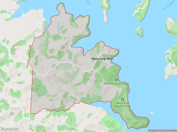
Mahurangi West Area (estimated)
9.0 square kilometersMahurangi West Population (estimated)
326 people live in Mahurangi West, Rodney, NZMahurangi West Suburb Area Map (Polygon)
Mahurangi West Introduction
Mahurangi West is a suburban area in Warkworth, Auckland, New Zealand. It is known for its beautiful beaches, lush parks, and vibrant community. The area has a rich history and was once home to the Mahurangi tribe. It is also home to several popular wineries and restaurants, making it a popular destination for tourists and locals alike.Region
Major City
Suburb Name
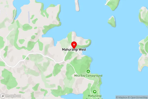
Mahurangi WestMahurangi West Area Map (Street)
Local Authority
AucklandFull Address
Mahurangi West, Auckland, New ZealandAddress Type
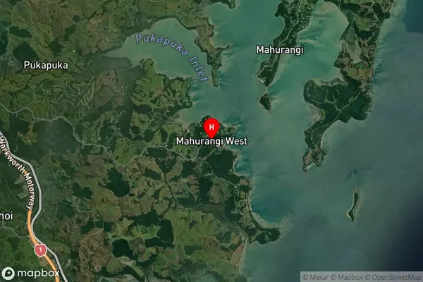
Locality in Town WarkworthMahurangi West Suburb Map (Satellite)
Country
Main Region in AU
AucklandMahurangi West Region Map
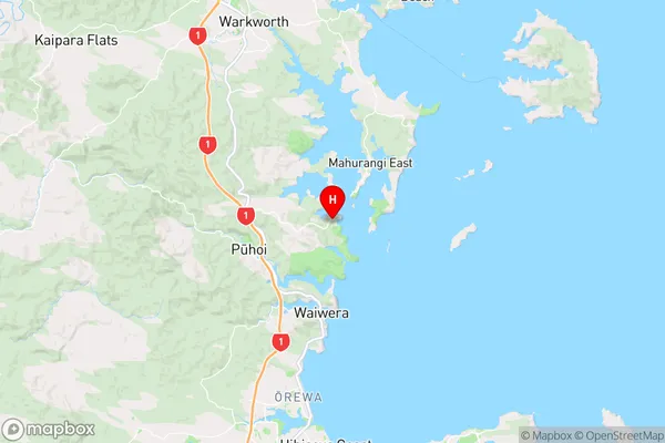
Coordinates
-36.498163,174.7128897 (latitude/longitude)Distances
The distance from Mahurangi West, Warkworth, Auckland to NZ Top 10 Cities