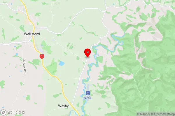
Wayby Valley Suburbs & Region, Wayby Valley Map & Postcodes in Wayby Valley, Rodney, Auckland
Wayby Valley Postcodes, Wayby Valley ZipCodes, Wayby Valley , Wayby Valley Auckland, Wayby Valley Suburbs, Wayby Valley Region, Wayby Valley Map, Wayby Valley Area
Wayby Valley Region (Hoteo, Streamlands, Waiwhiu, Wayby Valley Region)
Wayby Valley Suburbs
Wayby Valley is a suburb place type in Rodney, Auckland, NZ. It contains 0 suburbs or localities.Wayby Valley district
RodneyWayby Valley Region Map

Wayby Valley Introduction
Wayby Valley is a suburban area in Auckland, New Zealand. It is located in the Waitakere Ranges, 15 kilometers west of the Auckland CBD. The area is known for its scenic countryside, with many parks and reserves, including the Waitakere Ranges Regional Park and the Arataki Forest Park. Wayby Valley has a population of around 20,000 people and is home to a variety of housing types, including apartments, townhouses, and single-family homes. The area has several schools, including primary and secondary schools, as well as a community center and library. Wayby Valley is also home to a number of businesses, including retail stores, cafes, and restaurants. The area is well-connected to the rest of Auckland, with easy access to the motorway and public transportation.Wayby Valley Region
Wayby Valley Satellite Map

Full Address
Wayby Valley, Rodney, AucklandWayby Valley Coordinates
-36.3064264,174.5557007 (Latitude / Longitude)Wayby Valley Map in NZ

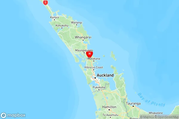
NZ Island
North IslandCountry
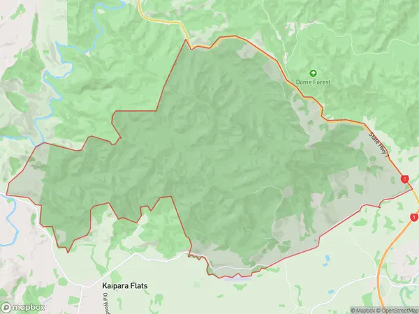
Wayby Valley Area Map (Polygon)

Name
Dome ForestAdditional Name
Hoteo, Streamlands, Waiwhiu, Wayby ValleyLocal Authority
Auckland
Wayby Valley Suburbs (Sort by Population)
Dome Forest also known as Hoteo, Streamlands, Waiwhiu, Wayby Valley. Dome Forest suburb has around
42.9 square
kilometers.There are more than 298 people (estimated)
live in Dome Forest, Rodney, Auckland, New Zealand.