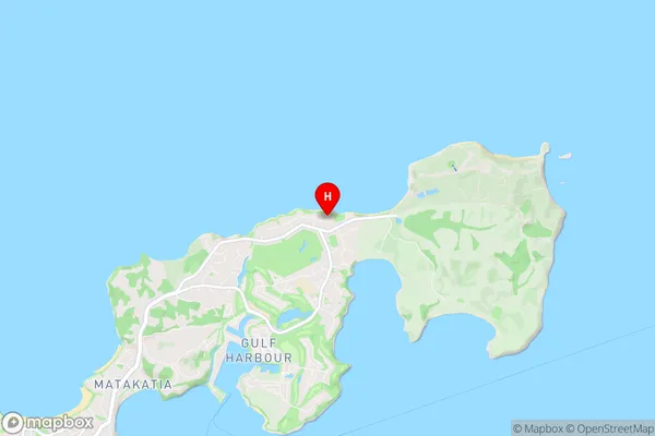
Army Bay Suburbs & Region, Army Bay Map & Postcodes in Army Bay, Rodney, Auckland
Army Bay Postcodes, Army Bay ZipCodes, Army Bay , Army Bay Auckland, Army Bay Suburbs, Army Bay Region, Army Bay Map, Army Bay Area
Army Bay Region
Army Bay Suburbs
Army Bay is a suburb place type in Rodney, Auckland, NZ. It contains 0 suburbs or localities.Army Bay Postcodes
Army Bay district
RodneyArmy Bay Region Map

Army Bay Introduction
Army Bay is a suburb of Auckland, New Zealand. It is located in the eastern part of the city, on the shores of the Waitematā Harbour. The suburb is named after the Royal New Zealand Army, which has a significant presence in the area. Army Bay is known for its peaceful atmosphere, scenic views, and popular beaches. It is a popular residential area with a mix of modern apartments and historic homes. The suburb also has a variety of recreational facilities, including parks, golf courses, and a swimming pool.Army Bay Region
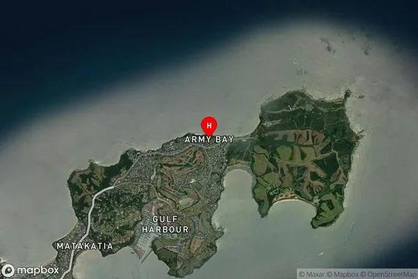
Army Bay Satellite Map

Full Address
Army Bay, Rodney, AucklandArmy Bay Coordinates
-36.602251,174.803441 (Latitude / Longitude)Army Bay Map in NZ

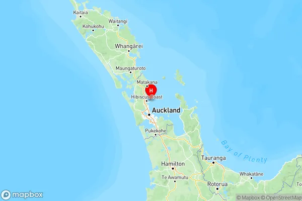
NZ Island
North IslandCountry
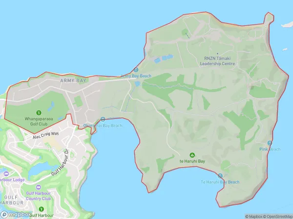
Army Bay Area Map (Polygon)

Name
Army BayAdditional Name
Local Authority
Auckland
Army Bay Suburbs (Sort by Population)
Army Bay suburb has around
8.2 square
kilometers.There are more than 1683 people (estimated)
live in Army Bay, Hibiscus Coast, Auckland, New Zealand.