Muriwai Suburbs & Region, Muriwai Map & Postcodes in Muriwai, Rodney, Auckland
Muriwai Postcodes, Muriwai ZipCodes, Muriwai , Muriwai Auckland, Muriwai Suburbs, Muriwai Region, Muriwai Map, Muriwai Area
Muriwai Region (Maraetaha, Ruakaturi, Te Rerengaotukiriahi, Wharerata Region)
Muriwai Suburbs
Muriwai is a suburb place type in Rodney, Auckland, NZ. It contains 1 suburbs or localities.Muriwai Postcodes
Muriwai district
RodneyMuriwai Introduction
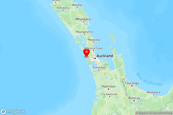
Muriwai is a coastal village located in the Hauraki Gulf of Auckland, New Zealand. It is known for its stunning natural beauty, including the Muriwai Beach, which is a popular destination for surfers and beachgoers. The village has a population of around 1,000 people and is surrounded by lush farmland and native forests. Muriwai is also home to the Kauri Museum, which showcases the history and culture of the local Kauri tree. The village is located approximately 50 kilometers northwest of Auckland and can be accessed by car or bus.Muriwai Region
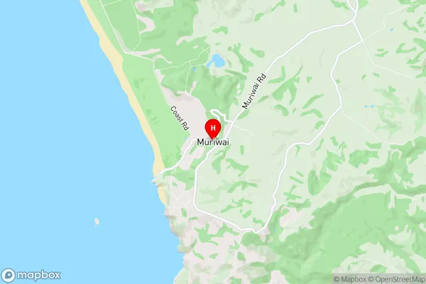
Muriwai City
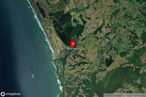
Muriwai Satellite Map

Full Address
Muriwai, Rodney, AucklandMuriwai Coordinates
-36.825,174.438781 (Latitude / Longitude)Muriwai Map in NZ

NZ Island
North IslandCountry
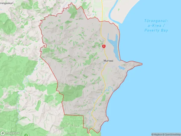
Muriwai Area Map (Polygon)

Name
MuriwaiAdditional Name
Maraetaha, Ruakaturi, Te Rerengaotukiriahi, WharerataLocal Authority
Gisborne District
Muriwai Suburbs (Sort by Population)
Muriwai
Muriwai - 2333
