Taupaki Suburbs & Region, Taupaki Map & Postcodes in Taupaki, Rodney, Auckland
Taupaki Postcodes, Taupaki ZipCodes, Taupaki , Taupaki Auckland, Taupaki Suburbs, Taupaki Region, Taupaki Map, Taupaki Area
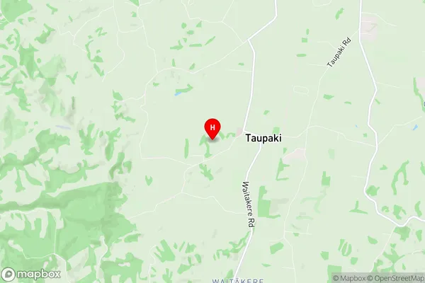
Taupaki Region
Taupaki Suburbs
Taupaki is a suburb place type in Rodney, Auckland, NZ. It contains 1 suburbs or localities.Taupaki district
RodneyTaupaki Introduction
Taupaki is a suburb of Auckland, New Zealand, located in the southern part of the city. It is known for its vibrant community, with a mix of residential and commercial properties. The suburb has a large Pacific Islander population and is home to several popular restaurants and cafes. Taupaki also has a large shopping center, a library, and a community center. The area is well-connected to other parts of Auckland via public transportation, and it is within walking distance of several parks and recreational facilities.Taupaki Region
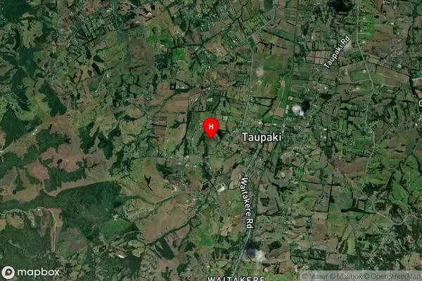
Taupaki Satellite Map

Full Address
Taupaki, Rodney, AucklandTaupaki Coordinates
-36.821639,174.538094 (Latitude / Longitude)Taupaki Map in NZ

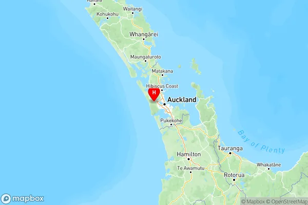
NZ Island
North IslandCountry
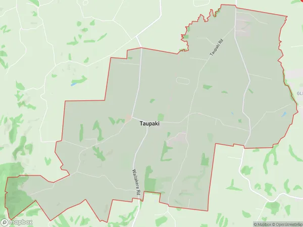
Taupaki Area Map (Polygon)

Name
TaupakiAdditional Name
Local Authority
Auckland
Taupaki Suburbs (Sort by Population)
Taupaki
Taupaki - 1495
