Albany Heights Suburbs & Region, Albany Heights Map & Postcodes in Albany Heights, Rodney, Auckland
Albany Heights Postcodes, Albany Heights ZipCodes, Albany Heights , Albany Heights Auckland, Albany Heights Suburbs, Albany Heights Region, Albany Heights Map, Albany Heights Area
Albany Heights Region (Albany North, Albany South, Cuthill, Meadowood, North Harbour, Sunset North Region)
Albany Heights Suburbs
Albany Heights is a suburb place type in Rodney, Auckland, NZ. It contains 0 suburbs or localities.Albany Heights district
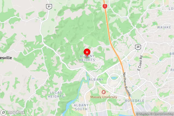
RodneyAlbany Heights Region Map

Albany Heights Introduction
Albany Heights is a suburb of Auckland, New Zealand, located in the North Shore City district. It is known for its high-quality housing, tree-lined streets, and peaceful atmosphere. The suburb is home to a variety of shops, restaurants, and recreational facilities, including the Albany Shopping Centre and the Albany Park Reserve. Albany Heights is also well-connected to other parts of Auckland, with easy access to the motorway network and public transport. The area has a strong sense of community, with many residents participating in local events and activities.Albany Heights Region
Albany Heights City
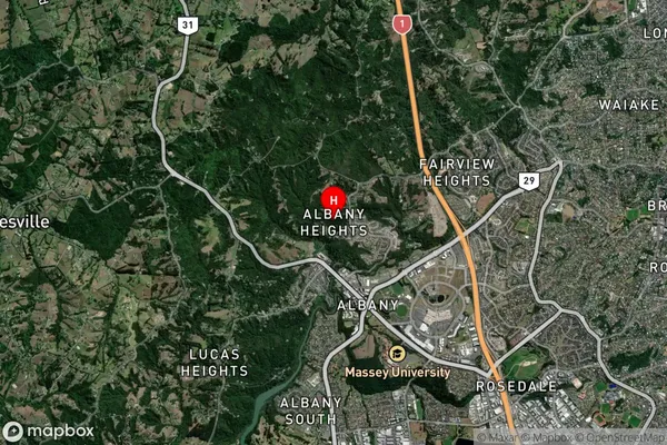
Albany Heights Satellite Map

Full Address
Albany Heights, Rodney, AucklandAlbany Heights Coordinates
-36.716819,174.692788 (Latitude / Longitude)Albany Heights Map in NZ

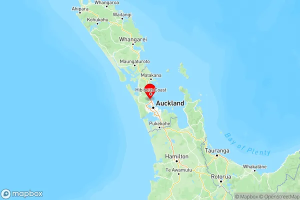
NZ Island
North IslandCountry
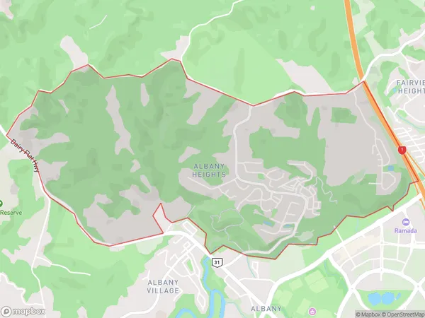
Albany Heights Area Map (Polygon)

Name
Albany HeightsAdditional Name
Albany North, Albany South, Cuthill, Meadowood, North Harbour, Sunset NorthLocal Authority
Auckland
Albany Heights Suburbs (Sort by Population)
Albany Heights also known as Albany North, Albany South, Cuthill, Meadowood, North Harbour, Sunset North. Albany Heights suburb has around
4.3 square
kilometers.There are more than 2339 people (estimated)
live in Albany Heights, Upper Harbour, Auckland, New Zealand.