Albany Heights Area, Albany Heights Postcode(0632) & Map in Albany Heights
Albany Heights Area, Albany Heights Postcode(0632) & Map in Albany Heights, Auckland, New Zealand
Albany Heights, Auckland, New Zealand
Albany Heights Postcodes
Albany Heights Area (estimated)
4.3 square kilometersAlbany Heights Population (estimated)
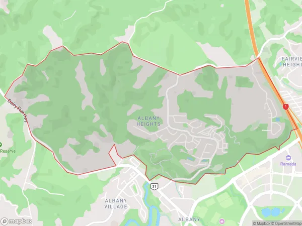
2339 people live in Albany Heights, Upper Harbour, NZAlbany Heights Suburb Area Map (Polygon)
Albany Heights Introduction
Albany Heights is a suburb in Auckland, New Zealand, with a population of around 12,000 people. It is located in the eastern suburbs and is known for its peaceful atmosphere, tree-lined streets, and well-maintained homes. The suburb has a variety of shops, restaurants, and recreational facilities, including a golf course and a community center. Albany Heights is also well-connected to other parts of Auckland, with easy access to the city center via public transportation.Region
Major City
Suburb Name
Albany HeightsOther Name(s)
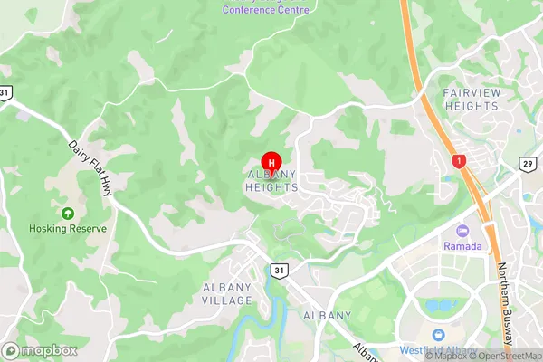
Albany North, Albany South, Cuthill, Meadowood, North Harbour, Sunset NorthAlbany Heights Area Map (Street)
Local Authority
AucklandFull Address
Albany Heights, Auckland, New ZealandAddress Type
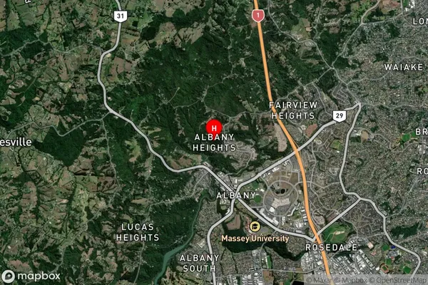
Suburb in City AucklandAlbany Heights Suburb Map (Satellite)
Country
Main Region in AU
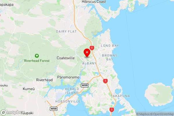
AucklandAlbany Heights Region Map
Coordinates
-36.7168189,174.6927881 (latitude/longitude)Distances
The distance from Albany Heights, Auckland, Auckland to NZ Top 10 Cities