Parakai Suburbs & Region, Parakai Map & Postcodes in Parakai, Rodney, Auckland
Parakai Postcodes, Parakai ZipCodes, Parakai , Parakai Auckland, Parakai Suburbs, Parakai Region, Parakai Map, Parakai Area
Parakai Region
Parakai Suburbs
Parakai is a city place type in Rodney, Auckland, NZ. It contains 0 suburbs or localities.Parakai Postcodes
Parakai district
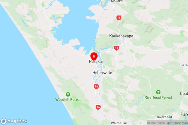
RodneyParakai Region Map

Parakai Introduction
Parakai is a suburb of Auckland, New Zealand, located in the North Shore region. It is known for its beautiful beaches, lush green parks, and vibrant community. The suburb has a population of around 20,000 people and is located approximately 20 kilometers from Auckland's central business district. Parakai is surrounded by stunning natural scenery, including the Waitakere Ranges and the Hauraki Gulf. The area is popular with outdoor enthusiasts, with many walking and cycling trails, and a variety of water sports facilities. The suburb also has a number of popular restaurants, cafes, and shops, making it a convenient and enjoyable place to live.Parakai Region
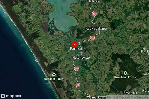
Parakai Satellite Map

Full Address
Parakai, Rodney, AucklandParakai Coordinates
-36.662082,174.432541 (Latitude / Longitude)Parakai Map in NZ

NZ Island
North IslandCountry
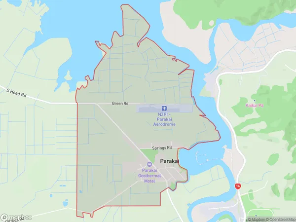
Parakai Area Map (Polygon)

Name
ParakaiAdditional Name
Local Authority
Auckland
Parakai Suburbs (Sort by Population)
Parakai suburb has around
7.1 square
kilometers.There are more than 1365 people (estimated)
live in Parakai, Rodney, Auckland, New Zealand.