Parakai Area, Parakai Postcode(0830) & Map in Parakai
Parakai Area, Parakai Postcode(0830) & Map in Parakai, Auckland, New Zealand
Parakai, Auckland, New Zealand
Parakai Postcodes
Parakai Area (estimated)
7.1 square kilometersParakai Population (estimated)
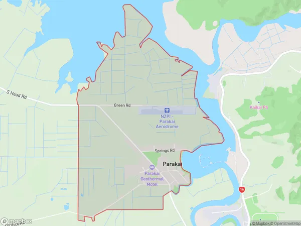
1365 people live in Parakai, Rodney, NZParakai Suburb Area Map (Polygon)
Parakai Introduction
Parakai is a suburban area in Helensville, Auckland, New Zealand. It is well-known for its beautiful beaches, lush green parks, and vibrant community. The area has a rich history and is home to several historic buildings and landmarks, including the Parakai Beach Reserve and the Parakai Golf Course. Parakai is also home to a variety of shops, restaurants, and cafes, making it a popular destination for locals and tourists alike.Region
Major City
Suburb Name
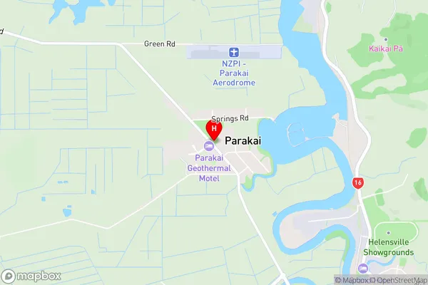
ParakaiParakai Area Map (Street)
Local Authority
AucklandFull Address
Parakai, Auckland, New ZealandAddress Type
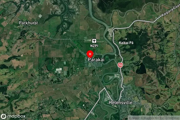
Suburb in Town HelensvilleParakai Suburb Map (Satellite)
Country
Main Region in AU
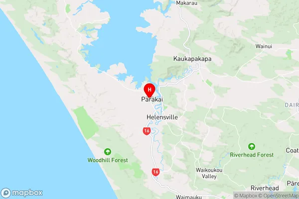
AucklandParakai Region Map
Coordinates
-36.6604127,174.4331289 (latitude/longitude)Distances
The distance from Parakai, Helensville, Auckland to NZ Top 10 Cities